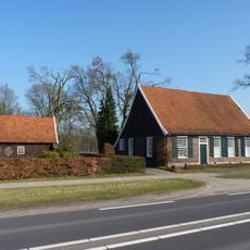
Oelemars, Nature area in Overijssel, Netherlands
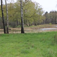
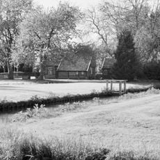
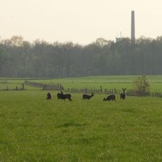
Oelemars is a nature reserve with wetlands and grasslands near the German border, featuring diverse habitats that attract numerous bird species throughout the year. The area includes open water, reed beds, and natural meadows that support changing populations depending on the season.
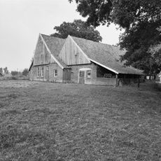
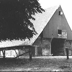
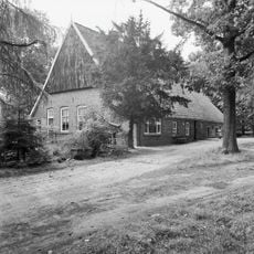
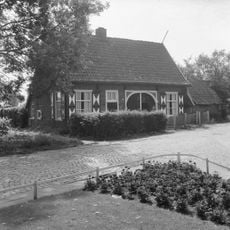
The area developed from former farmland and was gradually transformed into a protected nature reserve. This shift reflected changing approaches to land use and environmental conservation in the region.
Birdwatchers from surrounding areas come here to observe and record seasonal migrations, gathering at designated viewpoints during peak movement periods.
Visitors can walk marked trails from sunrise to sunset and find observation platforms at several locations for viewing birds. Early morning often provides the best conditions for watching and listening to birds in their natural setting.
The location near the Dutch-German border creates rare conditions where bird populations from both countries intermingle during migration season. This geographic position makes it valuable for observing how different migration routes across Europe intersect and overlap.
GPS coordinates: 52.26112,7.03503
Latest update: December 14, 2025 18:09
Kloster Bardel
817 m
Maria Geboortekerk
2.2 km
Kleingewässer Achterberg
3.2 km
Hervormde Kerk
1.9 km
Steenfabriek De Werklust, Losser
3.2 km
Grenspaal 6
2.8 km
Martinustoren, Losser
1.9 km
Wiggersweg 1, Losser
2.4 km
Grenzstein DE-NL 862.1
3.1 km
Teylershuis
1.9 km
Raadhuisplein 6, Losser
1.9 km
Beerninksweg 1, Overdinkel
1.2 km
Denekamperdijk 57, Losser
2.6 km
Grenssteen met de wapens van Overijssel, het Bisdom Munster en het Graafschap Bentheim
3.1 km
Grenzstein DE NL nr 3
748 m
Losser Textielfabriek
2.2 km
Raadhuisplein 4, Losser
1.9 km
Scholtinkstraat 5, Losser
1.7 km
Scholtinkstraat 7, Losser
1.7 km
Klootschietersmonument
1.7 km
Hoofdstraat 1, Losser
1.6 km
Aardappelkelder Ravenhorsterweg 3, Losser
1.1 km
Grenspaal nr 5 bij theesluis menco
2.8 km
Monument voor de Gevallenen
1.9 km
Joods monument
2 km
Terrein waarin een urnenveld
270 m
Bakstenen schoorsteenpijp met het jaartal 1926 ingemetseld in gele verblendsteen
2.2 kmVisited this place? Tap the stars to rate it and share your experience / photos with the community! Try now! You can cancel it anytime.
Discover hidden gems everywhere you go!
From secret cafés to breathtaking viewpoints, skip the crowded tourist spots and find places that match your style. Our app makes it easy with voice search, smart filtering, route optimization, and insider tips from travelers worldwide. Download now for the complete mobile experience.
A unique approach to discovering new places❞
— Le Figaro
All the places worth exploring❞
— France Info
A tailor-made excursion in just a few clicks❞
— 20 Minutes