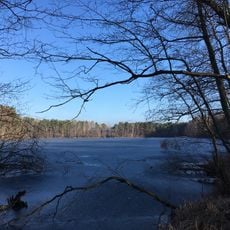
Bestensee, municipality in Dahme-Spreewald district, Brandenburg state, Germany
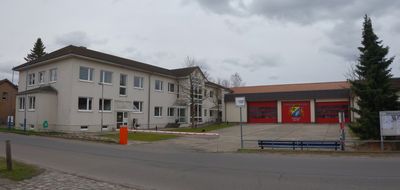
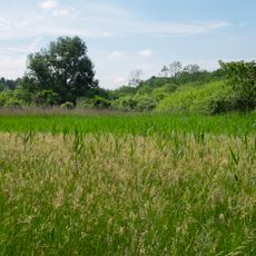
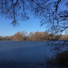
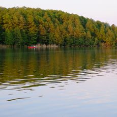
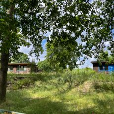
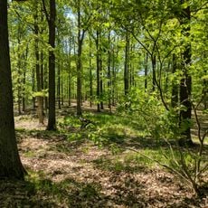
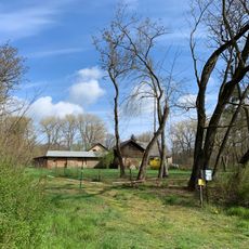
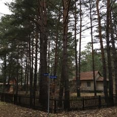
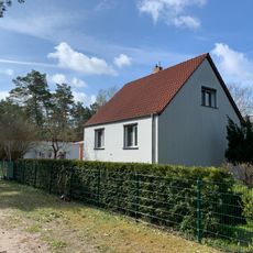
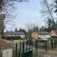
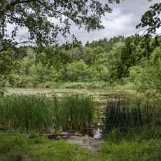
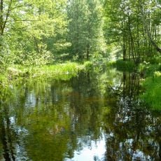
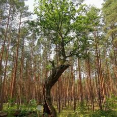
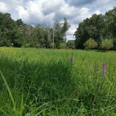
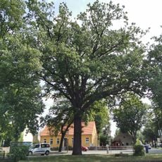
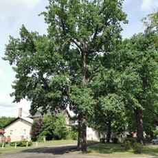
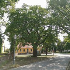
Bestensee is a small municipality in the Dahme-Spreewald district, located south of Berlin and defined by several lakes. The village consists of quiet streets with older stone buildings alongside newer homes, surrounded by green fields, forests, and water bodies that shape its character.
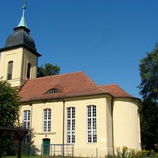
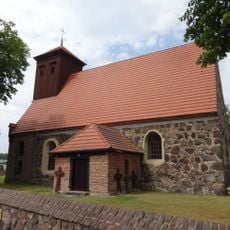
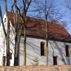
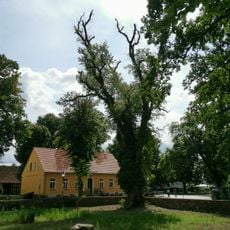
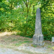
Bestensee was founded around 1375 and is closely tied to the history of the Mark region. The village church dates to the 14th century and documents the area's long settlement, while nearby properties like Schloss Schenkendorf were built later and used by various military forces during different periods.
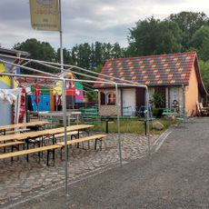
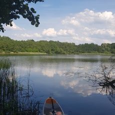
The name Bestensee refers to the lakes that have shaped village life for centuries and remain central to how people spend their time here. Walking through, you notice how residents naturally weave outdoor activities into their daily routines, gathering by the water for fishing, boating, or simple walks along the shores.
The village is easily reached by car or train and close enough to Berlin to serve as a relaxed retreat. The flat and well-marked walking and cycling paths around the lakes are beginner-friendly and accessible year-round, with rest spots where you can pause.
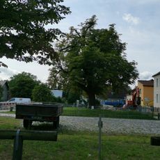
The Royal Forest House on Hauptstraße was built in 1896 and looks more like a generous villa than a castle, despite its name evoking royal hunting traditions. This unexpected blend of ambition and modesty is typical of the village's architecture.
The community of curious travelers
AroundUs brings together thousands of curated places, local tips, and hidden gems, enriched daily by 60,000 contributors worldwide.