
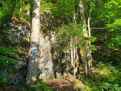
Königlicher Steinbruch Alterschrofen SSW von Schwangau, Geotop in Landkreis Ostallgäu in Bavaria, Germany
Location: Schwangau
Elevation above the sea: 793 m
Length: 15 m
Width: 12 m
Website: http://www.umweltatlas.bayern.de/mapapps/resources/reports/geotope/generateBericht.pdf?additionallayerfieldvalue=777G009
GPS coordinates: 47.56261,10.72634
Latest update: March 11, 2025 12:03

Hohenschwangau Castle
1.1 km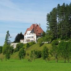
Schloss Bullachberg
729 m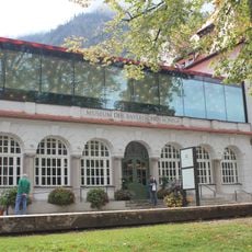
Museum of the Bavarian Kings
1.2 km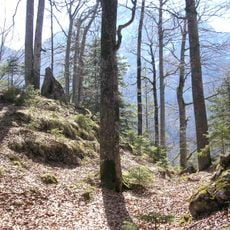
Frauenstein
956 m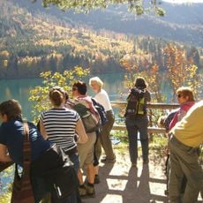
Pindarplatz
1.1 km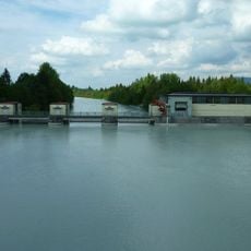
Lechstaustufe Horn
1.3 km
St. Georg
1.6 km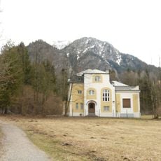
Villa
925 m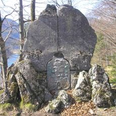
Frauenstein memorial
973 m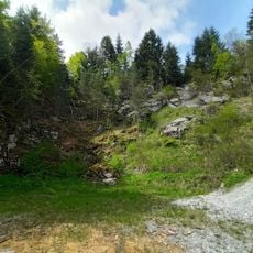
Steinbrüche am Kienberg-Südhang SW von Schwangau
591 m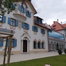
Hotel Alpenrose
1.3 km
Aufschluss in Kalksteinen der Adnet-Formation am Alpsee
1 km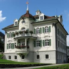
Jägerhaus, Hohenschwangau
1.2 km
Bauernhaus
1.3 km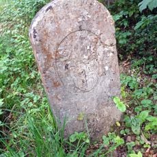
Boundary stone Füssen-Schwangau
1.4 km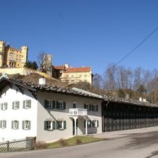
Lower carriage house Hohenschwangau
1.2 km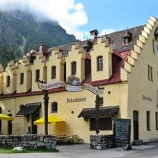
Schlossbräustüberl
1.2 km
Tennensturzbalken
1.5 km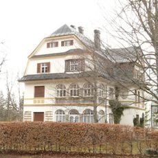
Villa
1.2 km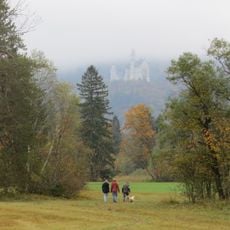
Schwanseepark
475 m
Cultural heritage D-7-8430-0037 in Schwangau
1.2 km
Bauernhaus
1.6 km
St. Anthony chapel
1.6 km
Ehemaliges Bauernhaus
1.6 km
Oberdorf 6
1.6 km
Column stump
1.6 km
Ehemaliges Bauernhaus
1.6 km
Bauernhaus
1.6 kmReviews
Visited this place? Tap the stars to rate it and share your experience / photos with the community! Try now! You can cancel it anytime.
Discover hidden gems everywhere you go!
From secret cafés to breathtaking viewpoints, skip the crowded tourist spots and find places that match your style. Our app makes it easy with voice search, smart filtering, route optimization, and insider tips from travelers worldwide. Download now for the complete mobile experience.

A unique approach to discovering new places❞
— Le Figaro
All the places worth exploring❞
— France Info
A tailor-made excursion in just a few clicks❞
— 20 Minutes