
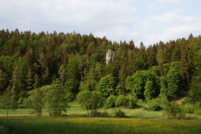
Lauterachtal mit den Tälern des Hausener- und Utzenhofener Baches und das Juragebiet zwischen Kastl und Utzenhofen
Lauterachtal mit den Tälern des Hausener- und Utzenhofener Baches und das Juragebiet zwischen Kastl und Utzenhofen, protected landscape in Bavaria, Germany
Location: Amberg-Sulzbach
Location: Neumarkt
Inception: 1965
GPS coordinates: 49.35211,11.70973
Latest update: April 1, 2025 16:19
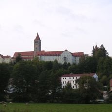
Klosterburg Kastl
2.7 km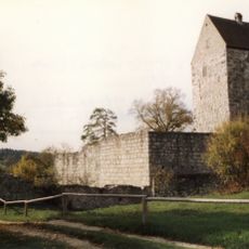
Schweppermannsburg
3.8 km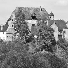
Burg Heimhof
3.8 km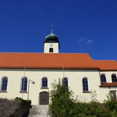
St. Vitus
2.3 km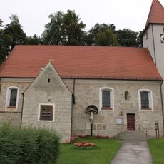
St. Martin
3.9 km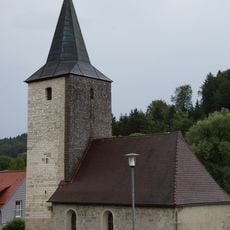
St. Nikolaus
3.6 km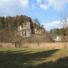
Cultural heritage D-3-6636-0033 in Kastl (Lauterachtal)
1.4 km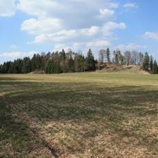
Abschnittsbefestigung Bürg
1.5 km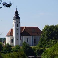
St. Georg
3.7 km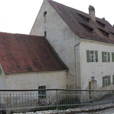
Ursprünglich Kirche
2.5 km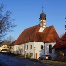
St. Christophorus
2.9 km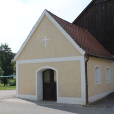
Hammermühlkapelle
2 km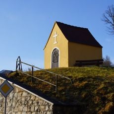
Marienkapelle Mühlhausen
900 m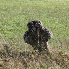
Steinkreuz bei Pfaffenhofen
3.7 km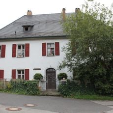
Ehemaliges Forstamt
3.8 km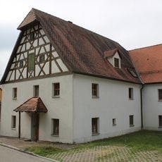
Ambergstraße 14
3.9 km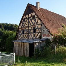
Ehemaliger Wohnstallbau
3.4 km
Klosterburg Kastl
2.7 km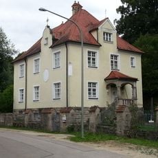
Ehemaliges Benefiziatenhaus
3.9 km
Klosterbergstraße 21
2.8 km
Torturm
2.6 km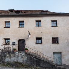
Klosterberggasse 8
2.9 km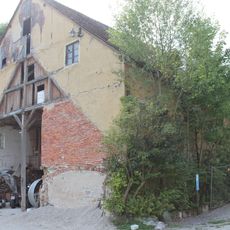
Ehemaliges Mühlengebäude
2.6 km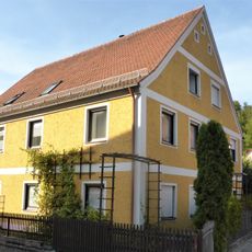
Brauhausgasse 10
3 km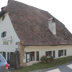
Wohnhaus
2 km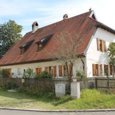
Wohnhaus
2 km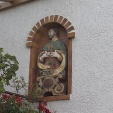
Sandsteinbüste heiliger Franz Xaver
3 km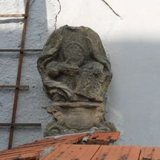
Sandsteinbüste heiliger Ignatius
3 kmVisited this place? Tap the stars to rate it and share your experience / photos with the community! Try now! You can cancel it anytime.
Discover hidden gems everywhere you go!
From secret cafés to breathtaking viewpoints, skip the crowded tourist spots and find places that match your style. Our app makes it easy with voice search, smart filtering, route optimization, and insider tips from travelers worldwide. Download now for the complete mobile experience.

A unique approach to discovering new places❞
— Le Figaro
All the places worth exploring❞
— France Info
A tailor-made excursion in just a few clicks❞
— 20 Minutes