Amberg-Sulzbach, Administrative district in Upper Palatinate, Germany.
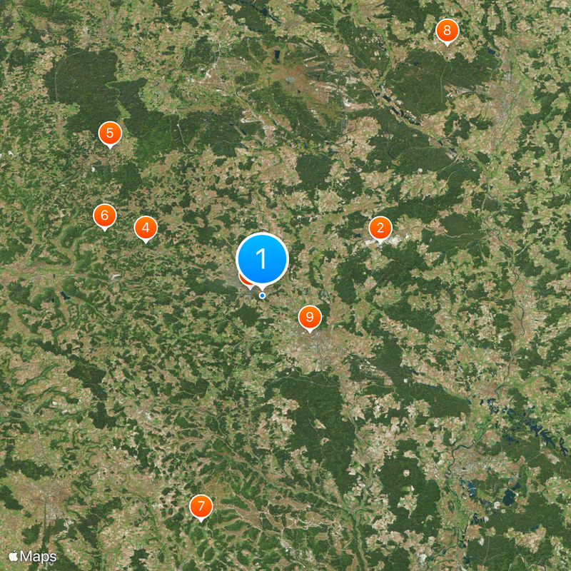
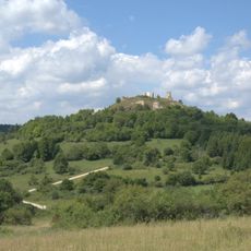
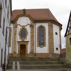
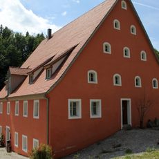
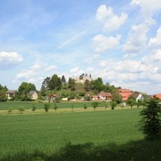
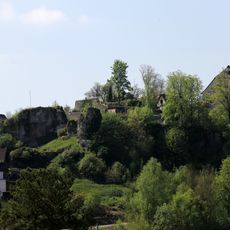
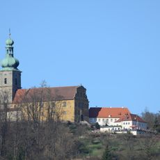
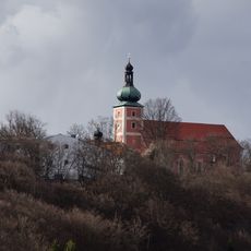
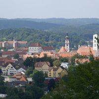
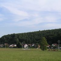
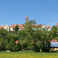
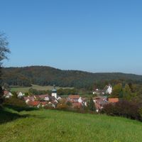
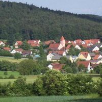
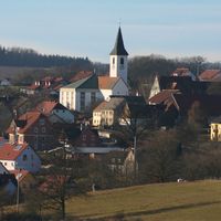
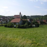
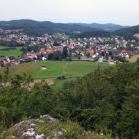
Amberg-Sulzbach is a rural district in Upper Palatinate covering approximately 1,255 square kilometers. The area is characterized by forests, gentle hills, and the Vils River running north to south.
The district was formed in 1972 by merging the former Amberg county with the independent city of Sulzbach-Rosenberg. This consolidation brought together two distinct historical regions under one administrative structure.
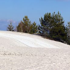
The coat of arms displays the Palatine Lion and lilies representing the former counts' rule. These symbols reflect the region's mining heritage and noble past, which remain visible in the local landscape today.
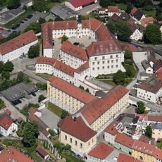
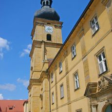
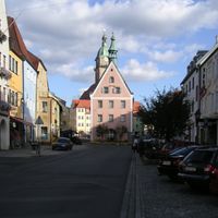
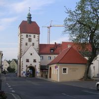
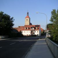
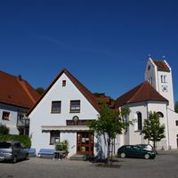
The district encompasses 27 municipalities coordinated from the capital city of Amberg. The various towns and villages are well connected by road, making navigation straightforward.
Vehicle registration plates display five different codes preserving the earlier administrative boundaries. This variety of license plate prefixes reflects how different territories merged to form the present district.
Location: Upper Palatinate
Inception: July 1, 1972
Capital city: Amberg
Elevation above the sea: 380 m
Shares border with: Neustadt an der Waldnaab, Amberg, Schwandorf, Neumarkt, Bayreuth, Nürnberger Land
Address: Schlossgraben 3 92224 Amberg
Website: http://kreis-as.de
GPS coordinates: 49.50000,11.75000
Latest update: December 7, 2025 09:22
Monte Kaolino
16.1 km
Maxhütte
1.7 km
Schloss Neidstein
11.2 km
Burg Veldenstein
20.4 km
Höhenglücksteig
15.9 km
König-Otto-Tropfsteinhöhle
27.7 km
Basaltkegel Parkstein
34.6 km
St. Martin
9.9 km
Wallfahrtskirche Maria Hilf in Amberg
10.2 km
Rosenthalstraße 12
12.7 km
Michelfeld Abbey
25.6 km
Burg Sulzbach
1.2 km
Burgruine Hohenburg (Hohenfels)
23.5 km
GKK Etzenricht
30.2 km
Bismarckgrotte bei Rinnenbrunn
16.7 km
Maximiliansgrotte
18.5 km
St. Ägidius
13 km
Oedmühle
13.2 km
Burgruine Lichtenegg
11.5 km
Burg, Grundmauern der Anlage in Hartenstein
19.7 km
Norissteig
17.3 km
Erasmus-Gymnasium
9.7 km
Mariahilf-Berg
10 km
Christoph 80
33.2 km
St. Georg
9.5 km
Habsberg
22.5 km
Alfelder Windloch
17.3 km
Easter Cave
6.5 kmReviews
Visited this place? Tap the stars to rate it and share your experience / photos with the community! Try now! You can cancel it anytime.
Auerbach in der Oberpfalz
Hirschau
Schnaittenbach
Sulzbach-Rosenberg
Vilseck
Freihung
Hahnbach
Hohenburg
Kastl
Königstein
Rieden
Schmidmühlen
Ammerthal
Birgland
Ebermannsdorf
Edelsfeld
Ensdorf
Etzelwang
Freudenberg
Gebenbach
Hirschbach
Illschwang
Kümmersbruck
Neukirchen bei Sulzbach-Rosenberg
Poppenricht
Ursensollen
Weigendorf
Eichen
Discover hidden gems everywhere you go!
From secret cafés to breathtaking viewpoints, skip the crowded tourist spots and find places that match your style. Our app makes it easy with voice search, smart filtering, route optimization, and insider tips from travelers worldwide. Download now for the complete mobile experience.
A unique approach to discovering new places❞
— Le Figaro
All the places worth exploring❞
— France Info
A tailor-made excursion in just a few clicks❞
— 20 Minutes