
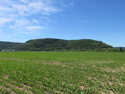
Wälder um Beverungen, protected area in the European Union defined by the habitats directive in Nordrhein-Westfalen, Germany
Location: Beverungen
Inception: 1999
GPS coordinates: 51.66784,9.36563
Latest update: March 7, 2025 18:48
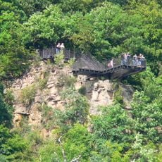
Weser Skywalk
5.1 km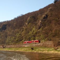
Hannoversche Klippen
5 km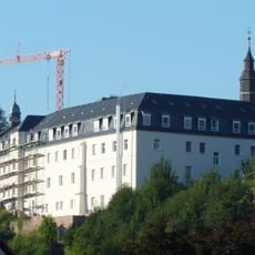
Herstelle Abbey
4.7 km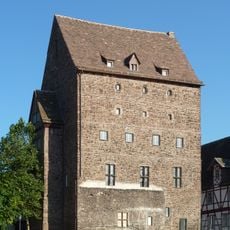
Stuhlmuseum Burg Beverungen
923 m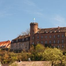
Burg Herstelle
4.7 km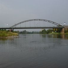
Bridges over the Weser in Beverungen
1.1 km
Kragstuhlmuseum
1.8 km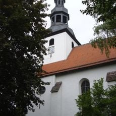
Saint John the Baptist Church (Beverungen)
856 m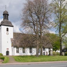
St. Markus
1.3 km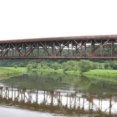
Eisenbahnbrücke über die Weser
4.2 km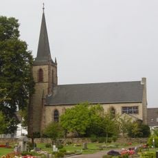
Kreuzkirche
880 m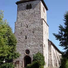
Georgskirche
5.1 km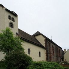
St. Jakobus
4.7 km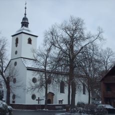
Holy Family and Saint Stephen Church (Wehrden, Beverungen)
5.1 km
St. Peter und Paul (Amelunxen)
5.2 km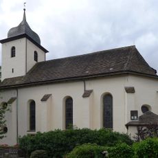
St. Bartholomäus
4.7 km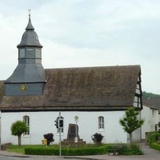
St. Johannis
3.1 km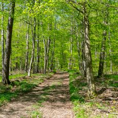
Buchenwälder zwischen Mühlenberg und Hasselburg
4 km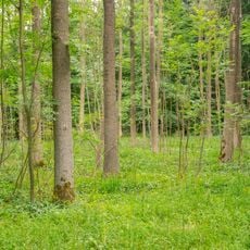
Buchenwälder zwischen Wildburg und Heineberg
3.5 km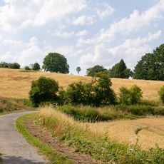
Wandelnsberg
1.8 km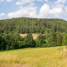
Selsberge
1.4 km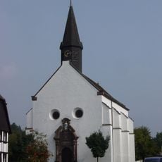
St. Joseph
3.1 km
LSG-Beverungen
2.7 km
Gaffelntal und Kiepenberg
5.2 km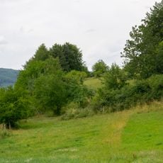
Wiekämpe
3.9 km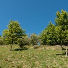
LSG Gaffelntal und Kiepenberg
4.9 km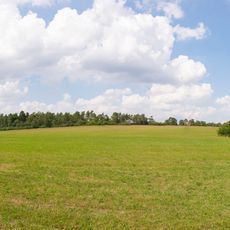
Wandelnsberg
1.7 km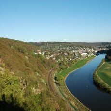
Hannoversche Klippen
5 kmReviews
Visited this place? Tap the stars to rate it and share your experience / photos with the community! Try now! You can cancel it anytime.
Discover hidden gems everywhere you go!
From secret cafés to breathtaking viewpoints, skip the crowded tourist spots and find places that match your style. Our app makes it easy with voice search, smart filtering, route optimization, and insider tips from travelers worldwide. Download now for the complete mobile experience.

A unique approach to discovering new places❞
— Le Figaro
All the places worth exploring❞
— France Info
A tailor-made excursion in just a few clicks❞
— 20 Minutes