
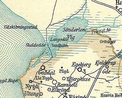
Sønder Lem Vig, lake in Holstebro Municipality, Denmark
Location: Holstebro Municipality
GPS coordinates: 56.56139,8.78583
Latest update: March 2, 2025 19:56
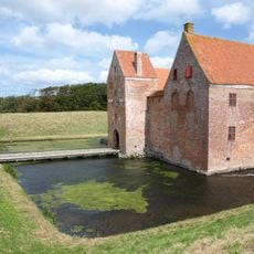
Burg Spøttrup
8.7 km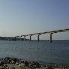
Sallingsund Bridge
21.2 km
Hjerl Heath
10.3 km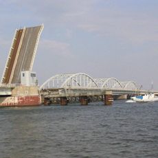
Oddesund Bridge
14 km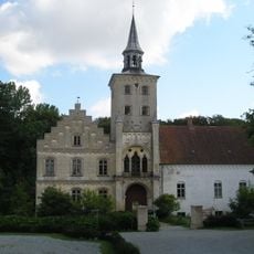
Højriis Castle
19.8 km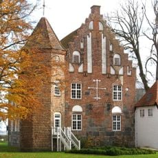
Krabbesholm
16.3 km
Stubber Priory
14.8 km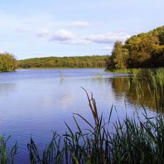
Flyndersø
9.6 km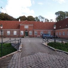
Ausumgård
18.6 km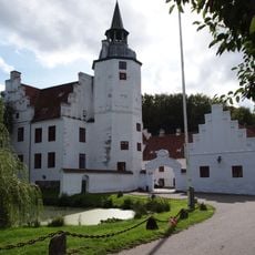
Rydhave
12.2 km
Vinderupgård
8.5 km
Kås Hovedgård
7.4 km
Struer Museum
13.9 km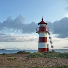
Grisetåodde Fyr
13.6 km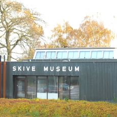
Skive Museum
15.4 km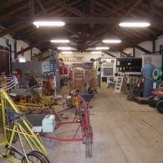
Midt- og Vestjyllands Jernbanemuseum
13.7 km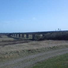
Skive Ådalbrug
13.1 km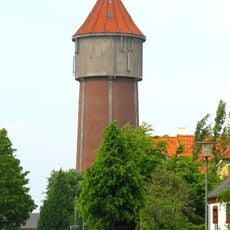
Det gamle vandtårn
13.8 km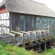
Aa Mølle
17.5 km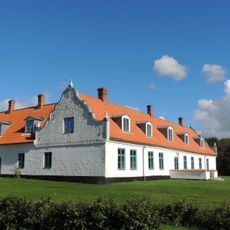
Hostrup
1.5 km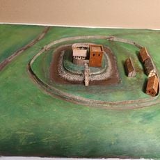
Vinderup Vold
8.5 km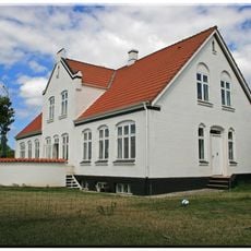
Kirkebygaard
14.7 km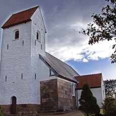
Ljørslev Church
19.5 km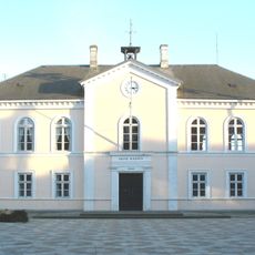
Skive old townhall
14.8 km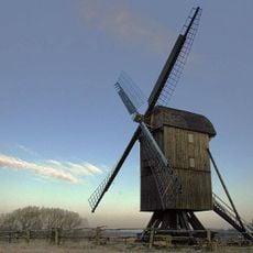
Hjerl Hede post mill
10.2 km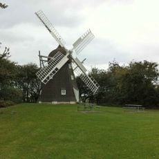
Roslev Mølle
19.8 km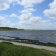
Lysen Bredning
15.8 km
Stubber Kloster
14.8 kmReviews
Visited this place? Tap the stars to rate it and share your experience / photos with the community! Try now! You can cancel it anytime.
Discover hidden gems everywhere you go!
From secret cafés to breathtaking viewpoints, skip the crowded tourist spots and find places that match your style. Our app makes it easy with voice search, smart filtering, route optimization, and insider tips from travelers worldwide. Download now for the complete mobile experience.

A unique approach to discovering new places❞
— Le Figaro
All the places worth exploring❞
— France Info
A tailor-made excursion in just a few clicks❞
— 20 Minutes