
Ambla vallamaja
Location: Järva Rural Municipality
GPS coordinates: 59.19364,25.82774
Latest update: March 28, 2025 00:17
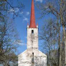
Ambla Church
776 m
Albu Manor
10.6 km
Lehtse manor
8.9 km
Käravete Manor
3.2 km
Capture of Tapa
10.7 km
Järva-Madise Church
13.1 km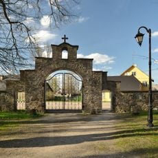
Ambla Churchyard
732 m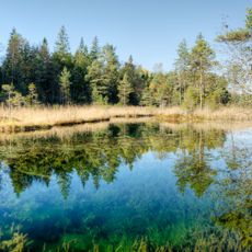
Aegviidu Blue Springs
11.7 km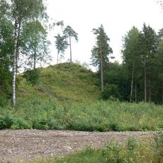
Jäneda hill fort
9.6 km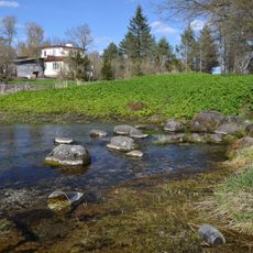
Aravete Springs
6.6 km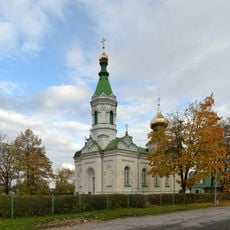
Tapa orthodox church
11.2 km
North Tammsaare Farm
16.3 km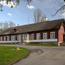
Ambla kirikumõis
693 m
Tapa Church
10.9 km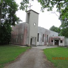
Tamsalu Church
16.5 km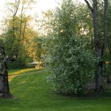
Albu Manor Park
10.7 km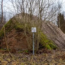
Eevakivi
9 km
Rava Nature Park
7.7 km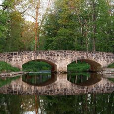
Albu mõisa sild
10.8 km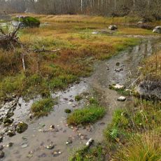
Jäneda Springs
9.9 km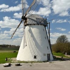
Seidla windmill
13.4 km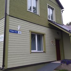
Aegviidu vallaraamatukogu
16.1 km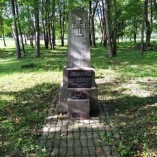
Tapa Vabadussõja mälestussammas
11.3 km
Konnavere Springs
12.6 km
Väike Allikajärv
9.9 km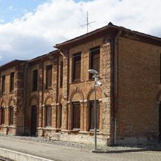
Station building of Tapa railway station
11.1 km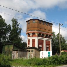
Aegviidu water tower
16.2 km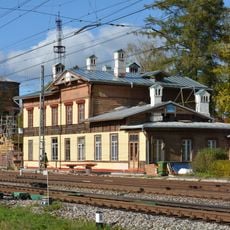
Station building of Aegviidu railway station
16.1 kmReviews
Visited this place? Tap the stars to rate it and share your experience / photos with the community! Try now! You can cancel it anytime.
Discover hidden gems everywhere you go!
From secret cafés to breathtaking viewpoints, skip the crowded tourist spots and find places that match your style. Our app makes it easy with voice search, smart filtering, route optimization, and insider tips from travelers worldwide. Download now for the complete mobile experience.

A unique approach to discovering new places❞
— Le Figaro
All the places worth exploring❞
— France Info
A tailor-made excursion in just a few clicks❞
— 20 Minutes