
Kangrukivi
Location: Kuusalu Rural Municipality
GPS coordinates: 59.43071,25.30510
Latest update: May 27, 2025 05:37
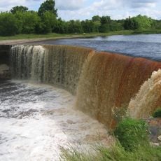
Jägala Waterfall
7.5 km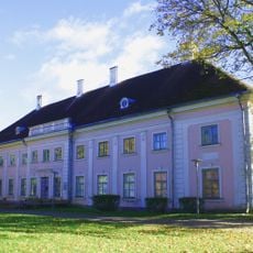
Anija Manor
5.5 km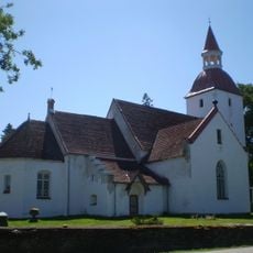
Kuusalu Church
7.6 km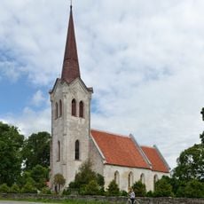
Jõelähtme Church
10.4 km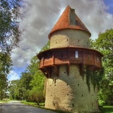
Kiiu Castle
5 km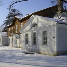
Aruküla Manor
9.9 km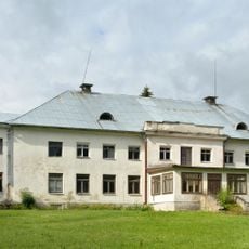
Valkla manor
5.7 km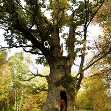
Tülivere Oak
8.8 km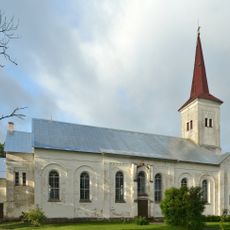
Harju-Jaani Church
9.1 km
Jägala hill fort
9.1 km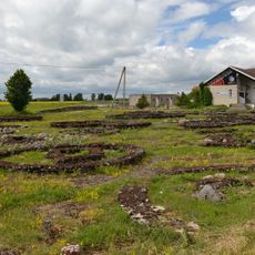
Jõelähtme grave field
9.7 km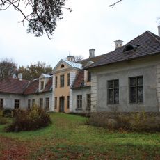
Kodasoo manor
2.7 km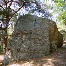
Augu suurkivi
8 km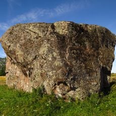
Ellandvahe Boulder
10 km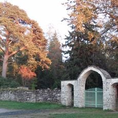
Kuusalu Cemetery
8.2 km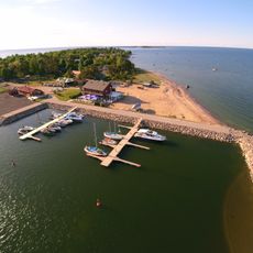
Kaberneeme Harbour
10.1 km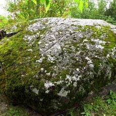
Lauritsakivi
7.5 km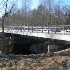
Soodla Bridge
5 km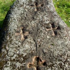
Nelja kuninga kivi
7.1 km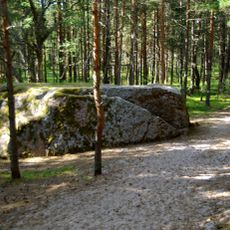
Kandukivi
7.9 km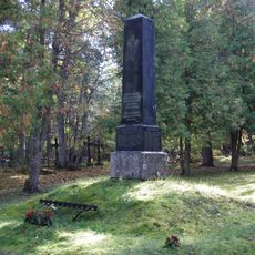
Kuusalu Vabadussõja mälestussammas
8.2 km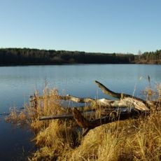
Linnamäe Reservoir
8.9 km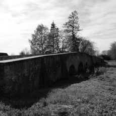
Jõelähtme stone bridge
9.7 km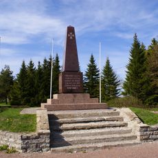
Jõelähtme Vabadussõja mälestussammas
10.5 km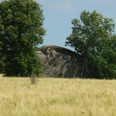
Kupukivi
9.8 km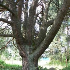
Kuusalu seitsmeharuline mänd
7.3 km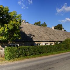
Valkla inn
4 km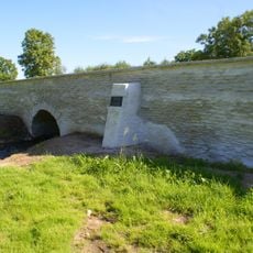
Valkla kivisild
4 kmReviews
Visited this place? Tap the stars to rate it and share your experience / photos with the community! Try now! You can cancel it anytime.
Discover hidden gems everywhere you go!
From secret cafés to breathtaking viewpoints, skip the crowded tourist spots and find places that match your style. Our app makes it easy with voice search, smart filtering, route optimization, and insider tips from travelers worldwide. Download now for the complete mobile experience.

A unique approach to discovering new places❞
— Le Figaro
All the places worth exploring❞
— France Info
A tailor-made excursion in just a few clicks❞
— 20 Minutes