
Urrea de Gaén, municipality of Spain
Location: Teruel Province
Elevation above the sea: 308 m
Website: http://www.urreadegaen.es/
Part of: Mancomunitat Industrial «Zona Bajo Martín»
Shares border with: Albalate del Arzobispo
Website: http://urreadegaen.es
GPS coordinates: 41.16000,-0.47028
Latest update: April 3, 2025 08:59
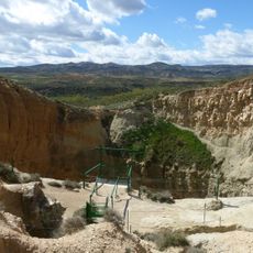
Sima de San Pedro
20.7 km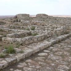
Cabezo de Alcalá
14.3 km
Escatrón Thermal Power Plant
19 km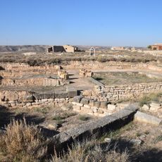
Celsa
24 km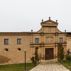
Rueda Abbey
20.1 km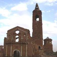
Church of San Martín de Tours, Belchite
27.8 km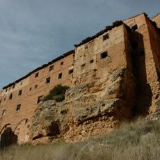
Santuario de la Virgen de Arcos
13.8 km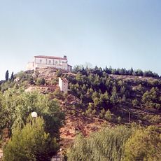
Ermita de San Macario
20.9 km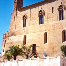
Castillo Palacio Arzobispal
5.5 km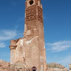
Clock Tower (Belchite Old Town)
28 km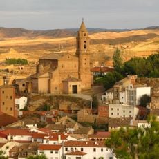
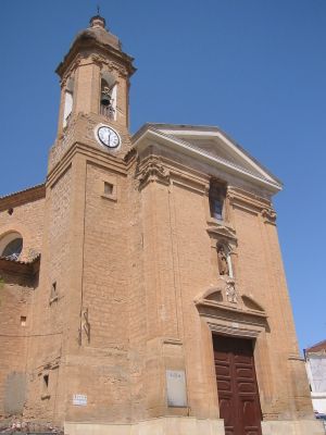
Iglesia de Santa María la Mayor
2.4 km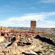
El Palomar
24.2 km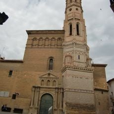
Church of the Asunción, Albalate del Arzobispo
5.5 km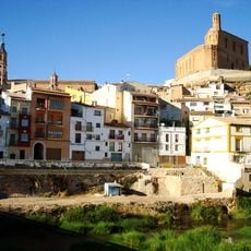
Conjunto histórico de Albalate del Arzobispo
5.3 km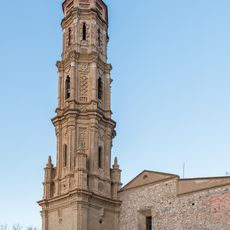
Church of St. Mary Magdalene, Lécera
20.6 km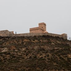
Fortín de Sástago
20.3 km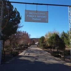
MWINAS
19.8 km
El Cabo Archaeological Park
20.7 km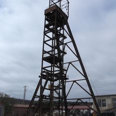
Pozo de San Juan
19.8 km
Hermitage of St Domingo, Lécera
19.9 km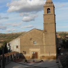
Iglesia de la Asunción de Nuestra Señora (Escatrón)
19.1 km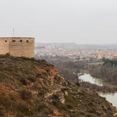
Torre del Tambor
20.7 km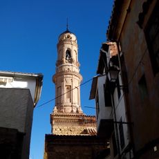
Church of El Salvador, Ariño
17.7 km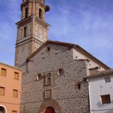
Church of Nuestra Señora del Rosario, Azaila
14.8 km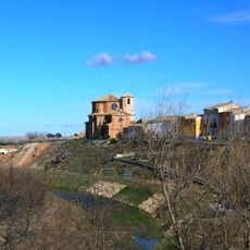
Iglesia de San Juan Bautista
14.9 km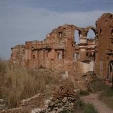
Convento de San Rafael
27.8 km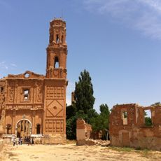
Church of San Agustín, Belchite
28.3 km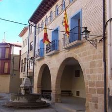
Town hall of Alloza
22 kmReviews
Visited this place? Tap the stars to rate it and share your experience / photos with the community! Try now! You can cancel it anytime.
Discover hidden gems everywhere you go!
From secret cafés to breathtaking viewpoints, skip the crowded tourist spots and find places that match your style. Our app makes it easy with voice search, smart filtering, route optimization, and insider tips from travelers worldwide. Download now for the complete mobile experience.

A unique approach to discovering new places❞
— Le Figaro
All the places worth exploring❞
— France Info
A tailor-made excursion in just a few clicks❞
— 20 Minutes