
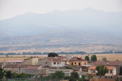
Santa María del Arroyo, municipality of Spain
Location: Province of Ávila
Elevation above the sea: 1,152 m
Part of: Mancomunidade Valle de Amblés
Shares border with: La Torre, Muñogalindo, Solosancho
Website: http://santamariadelarroyo.es
GPS coordinates: 40.60028,-4.92222
Latest update: March 9, 2025 11:10
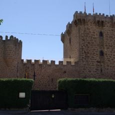
Castle of Villaviciosa
7.4 km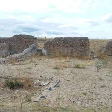
Villa romana de Pared de los Moros
5.7 km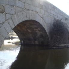
Cobos Roman bridge
3.8 km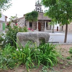
Verraco de Santa María del Arroyo
166 m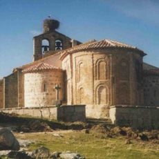
Iglesia de Nuestra Señora de la Asunción (Narros del Puerto)
8.7 km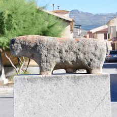
Verraco de Solosancho
5.5 km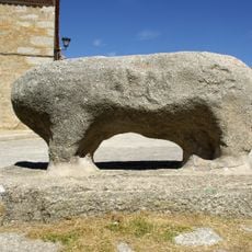
Verraco de Villaviciosa
7.4 km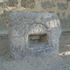
Verraco de La Torre
3.8 km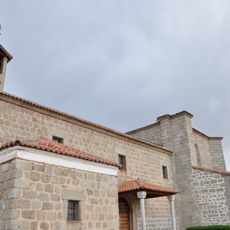
Church of la Asunción, Santa María del Arroyo
460 m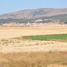
Muñana
7.9 km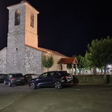
Church of Santo Tomás apóstol (La Torre)
3.8 km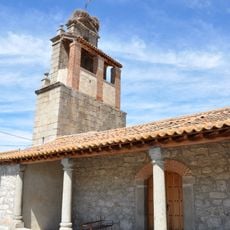
Church of San Juan Bautista, Blacha, Ávila
6.7 km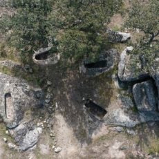
Necropolis of Oco
4.7 km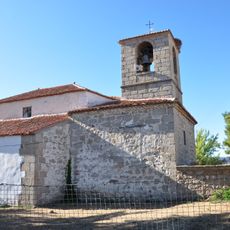
Church Saint Thomas Apostle
5.3 km
Agencia de Lectura de Solosancho
5.4 km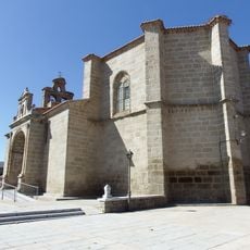
Church of San Esteban Protomártir, Muñana
7.9 km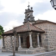
Hermitage of Saint Anthony
144 m
Granero de Muñana
8.2 km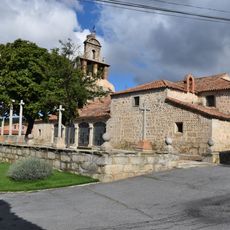
Church of Saint Luke, Muñogalindo
1.9 km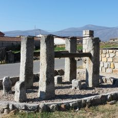
Potro de herrar, Muñana
8.1 km
Industrias Cárnicas Roal
5.1 km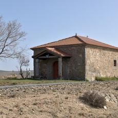
Hermitage of Virgen de los Remedios, La Torre
5.3 km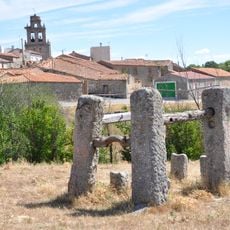
Potro de herrar, Blacha
6.8 km
Potro de herrar, Baterna
5.2 km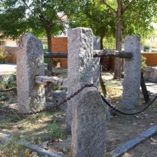
Potro de herrar, La Torre
3.8 km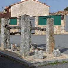
Potro de herrar, Oco
4.9 km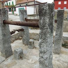
Potro de herrar, Robledillo
6.9 km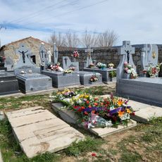
Cemetery of La Torre
3.9 kmReviews
Visited this place? Tap the stars to rate it and share your experience / photos with the community! Try now! You can cancel it anytime.
Discover hidden gems everywhere you go!
From secret cafés to breathtaking viewpoints, skip the crowded tourist spots and find places that match your style. Our app makes it easy with voice search, smart filtering, route optimization, and insider tips from travelers worldwide. Download now for the complete mobile experience.

A unique approach to discovering new places❞
— Le Figaro
All the places worth exploring❞
— France Info
A tailor-made excursion in just a few clicks❞
— 20 Minutes