Enable Location

We need your location to show you interesting places around you

Discover nearby places

Find interesting locations and hidden gems around you

Precise directions

Get accurate directions and distances to places

Your location is never shared with other users. It's only used when you tap the location button.

Rivas-Vaciamadrid

Log in to your account

Start exploring — it's free

Trusted by 62,080 travelers worldwide

Continue with Google
Continue with Apple
or

We will send you a code to connect

By continuing, you accept our Terms and Conditions and our Privacy Policy

Check your inbox

We've sent a pincode in your inbox. Please enter the code below.

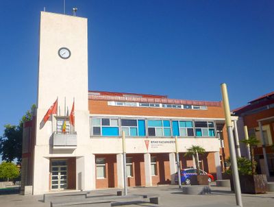
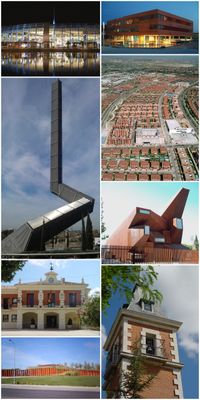
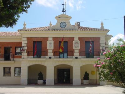
Rivas-Vaciamadrid, Municipality in Community of Madrid, Spain

Rivas-Vaciamadrid is a municipality in the Community of Madrid that stretches southeast of the capital and borders the Jarama and Manzanares rivers. The urban area includes residential neighborhoods, commercial zones, and wide park areas connected by a network of roads and three Metro stations.

The municipality emerged through the union of two villages in 1845, which were brought together under a common administration. The present double name was officially adopted in 1954, after the area was rebuilt following the civil war.

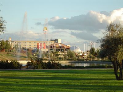
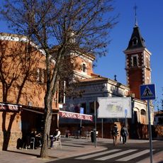
The name combines two former settlements and reflects the joining of neighboring communities. Today locals use the town as a residential area with access to green spaces along the riverbanks, where walks and bike rides take place on weekends.

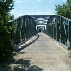
The area is easy to explore on foot or by bike, as many paths run along the rivers and through the parks. Those staying longer will find supermarkets, pharmacies, and other shops in the residential neighborhoods used for daily needs.

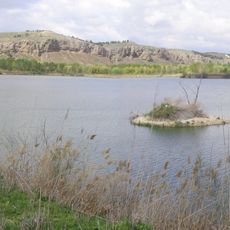
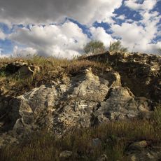
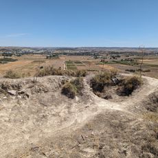
Most of the municipal territory belongs to the regional nature park, where Jarama and Manzanares meet and form wetlands. Birds and other animals use this riverside zone year-round as a resting and breeding ground.

The community of curious travelers

AroundUs brings together thousands of curated places, local tips, and hidden gems, enriched daily by 60,000 contributors worldwide.

Start exploring
Elevation above the sea
590 m
Part of
Mancomunidade do Leste
Shares border with
Madrid, Getafe, San Martín de la Vega, Arganda del Rey, Velilla de San Antonio, Mejorada del Campo, San Fernando de Henares, Vicálvaro, Villa de Vallecas
GPS coordinates
40.33944,-3.51806
Latest update
December 13, 2025 18:07
« Rivas-Vaciamadrid - Municipality in Community of Madrid, Spain » is provided by Around Us (aroundus.com). Images and texts are derived from Wikimedia project under a Creative Commons license. You are allowed to copy, distribute, and modify copies of this page, under the conditions set by the license, as long as this note is clearly visible.

Discover hidden gems everywhere you go!

From secret cafés to breathtaking viewpoints, skip the crowded tourist spots and find places that match your style. Our app makes it easy with voice search, smart filtering, route optimization, and insider tips from travelers worldwide. Download now for the complete mobile experience.

Around Us App Screenshot

A unique approach to discovering new places

Le Figaro

All the places worth exploring

France Info

A tailor-made excursion in just a few clicks

20 Minutes

Around Us
Travel Guide & Maps
Download

Send to your phone

QR Code
1

Open the camera app on your mobile.

2

Point at the QR code with your camera. A notification will appear.

3

Tap the notification to open the link.