
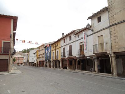
Tendilla, municipality of Spain
Location: Guadalajara Province
Capital city: Tendilla
Elevation above the sea: 789 m
Part of: Mancomunitat d'Aguas del Río Tajuña, Mancomunitat de Municipis «Villas Alcarreñas»
Shares border with: Peñalver, Fuentelencina, Moratilla de los Meleros, Fuentelviejo, Armuña de Tajuña, Romanones
GPS coordinates: 40.54444,-2.95917
Latest update: March 5, 2025 06:33
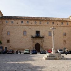
Palace of Duke of Pastrana
14.4 km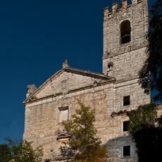
Monastery of San Bartolomé, Lupiana
10.1 km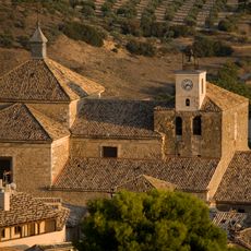
Colegiata de Pastrana
14.6 km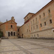
Convent of El Carmen, Pastrana
15.9 km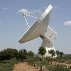
Yebes Observatory
11.2 km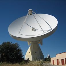
Yebes Observatory RT40m
11.2 km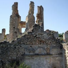
Convento de la Salceda, Peñalver
3.6 km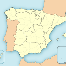
Posición Saldón
13.7 km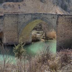
Puente medieval, Auñón
17.5 km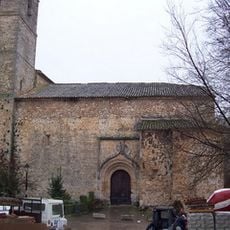
Church of la Inmaculada Concepción
17.1 km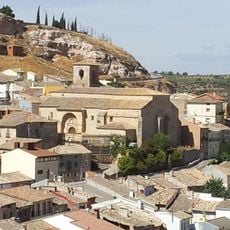
Church of Santa Eulalia de Mérida
7.2 km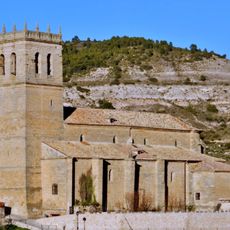
Church of San Juan Bautista
14.6 km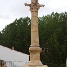
Pillory of Moratilla de los Meleros
4.8 km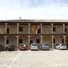
Town hall of Fuentelencina
7.3 km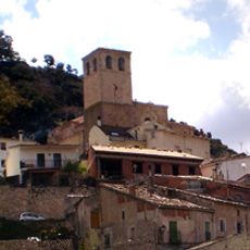
Iglesia de la Asunción, Berninches
13.7 km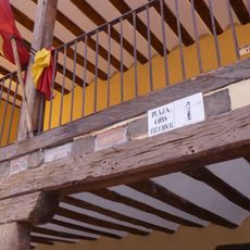
Town hall of Tomellosa
12.2 km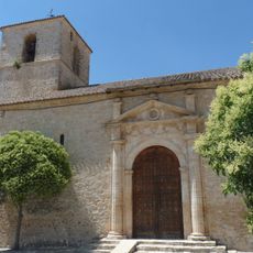
Iglesia de Nuestra Señora de la Zarza, Atanzón
14 km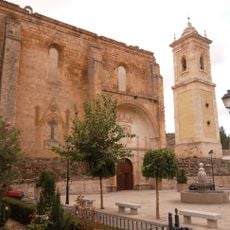
Church of La Asunción
103 m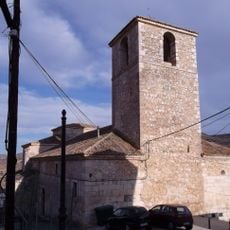
Church of San Pedro
17.1 km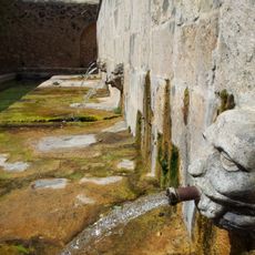
Fuente de Abajo, Fuentelencina
7.4 km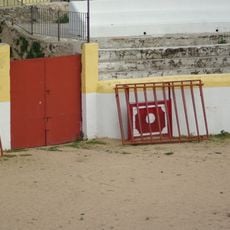
Bullring of Pastrana
14.3 km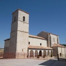
Church of San Bartolomé
12.9 km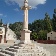
Picota de Lupiana
10.8 km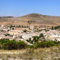
Villa de Pastrana
14.4 km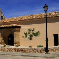
Iglesia de la Asunción, Escopete
14.8 km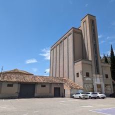
Silo de Pastrana
14.3 km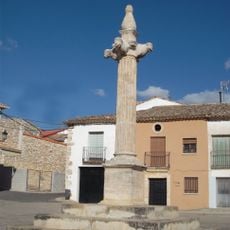
Picota de Valdeavellano
13.4 km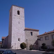
Iglesia de Santa Eulalia de Mérida, Chiloeches
17.5 kmReviews
Visited this place? Tap the stars to rate it and share your experience / photos with the community! Try now! You can cancel it anytime.
Discover hidden gems everywhere you go!
From secret cafés to breathtaking viewpoints, skip the crowded tourist spots and find places that match your style. Our app makes it easy with voice search, smart filtering, route optimization, and insider tips from travelers worldwide. Download now for the complete mobile experience.

A unique approach to discovering new places❞
— Le Figaro
All the places worth exploring❞
— France Info
A tailor-made excursion in just a few clicks❞
— 20 Minutes