
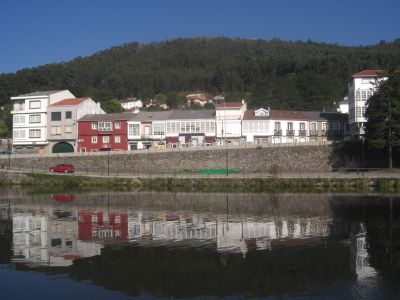
Neda, municipality of Spain
Location: A Coruña Province
Elevation above the sea: 758 m
Part of: Mancomunidade de Concellos da Comarca de Ferrol
Shares border with: Fene, A Capela, San Sadurniño, Narón
Website: http://neda.es
GPS coordinates: 43.50000,-8.15853
Latest update: March 2, 2025 20:58

Monasterio de San Martín de Jubia
1.3 km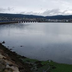
Ponte das Pías
2.7 km
Naraío Castle
8.1 km
Pazo de la Merced
856 m
Castro de Ancos
2.9 km
Castro de Orra
3.2 km
Castro do Petouzal
1.7 km
Castro dos Bicás
3.8 km
Castro de Sedes
6 km
Castro de Santa Cecilia
3.6 km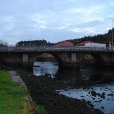
Ponte de Xuvia
2 km
Castro de Sequeiro
3.9 km
Castro da Revolta
4.3 km
Castro de Belelle
5.2 km
Castro da Ermida
5.8 km
Castro de Barallobre
4.3 km
Estadio de Río Seco
3.8 km
Castro de Pereiruga
5.8 km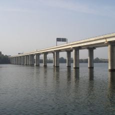
Ponte da ría de Ferrol
627 m
Castro de Rupiallo
7.6 km
Castro de San Estevo
5.9 km
Castro de Magalofes
5.5 km
Castro das Pías
3 km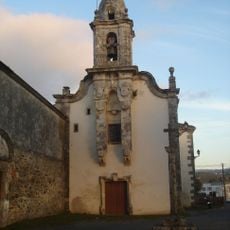
Igrexa de Santa María do Rosario de San Sadurniño
7.8 km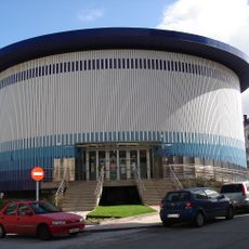
Biblioteca Pública Municipal de Narón
2.6 km
El Ferrol of the Illustration Historical Heritage
1.2 km
Biblioteca Pública Municipal de Neda
52 m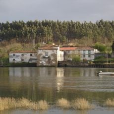
As Aceas tide mill
1.7 kmVisited this place? Tap the stars to rate it and share your experience / photos with the community! Try now! You can cancel it anytime.
Discover hidden gems everywhere you go!
From secret cafés to breathtaking viewpoints, skip the crowded tourist spots and find places that match your style. Our app makes it easy with voice search, smart filtering, route optimization, and insider tips from travelers worldwide. Download now for the complete mobile experience.

A unique approach to discovering new places❞
— Le Figaro
All the places worth exploring❞
— France Info
A tailor-made excursion in just a few clicks❞
— 20 Minutes