
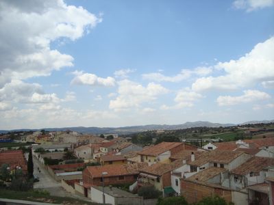
Aguaviva, municipality of Aragon, Spain
Location: Bajo Aragon
Capital city: Aguaviva
Elevation above the sea: 549 m
Website: http://www.aiguaivaviva.com
Part of: La Franja
Shares border with: Castellote, La Ginebrosa, Mas de las Matas, Las Parras de Castellote
Website: http://aiguaivaviva.com
GPS coordinates: 40.82361,-0.19750
Latest update: April 1, 2025 08:56
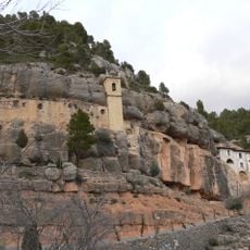
Santuari de la Mare de Déu de la Balma
8.9 km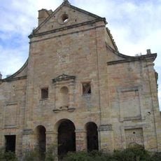
Convento del Desierto
9 km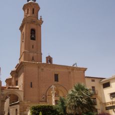
Templo del Pilar (Calanda)
13.1 km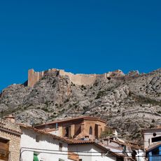
Castellote Castle
10.8 km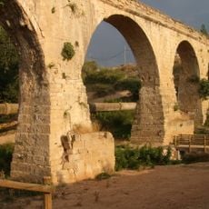
Acueducto de Los Arcos
12.3 km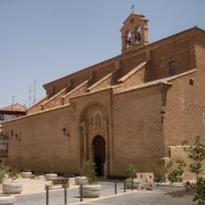
Iglesia de Nuestra Señora de la Esperanza (Calanda)
13.2 km
Casa-Museo Miguel Pellicer
13.1 km
Castle of Calanda
13.1 km
Iglesia de San Juan Bautista
3.9 km
Casa de Cultura
13 km
Casa Fortón-Cascajares
13.1 km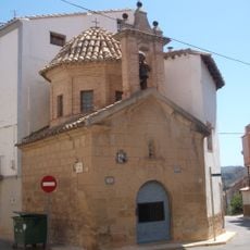
Ermita del Humilladero
13.1 km
Calanda Town Hall
13.2 km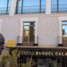
Centro Buñuel Calanda
13.1 km
Iglesia de San Bartolomé
7.4 km
Santolea Reservoir
13.2 km
Biblioteca Pública Municipal de Monroyo
14.4 km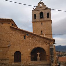
Església de l'Assumpció de Mont-roig de Tastavins
14.5 km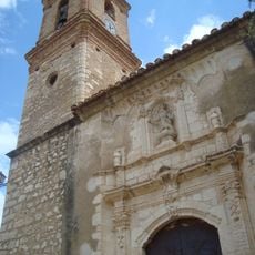
Church of the Assumption
11.9 km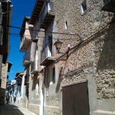
Castell-palau dels Peralta
10.9 km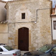
Ermita dels Dolors, Ortells
14.6 km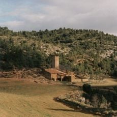
Torre Piquer
16 km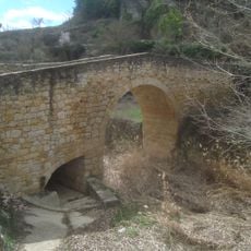
Puente Medieval de Torre de Arcas
13.5 km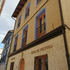
Biblioteca Pública Municipal de Castellote
10.6 km
Town hall of Mont-roig de Tastavins
14.5 km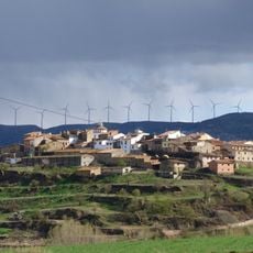
Núcleo Histórico Tradicional de Zorita del Maestrazgo
10.9 km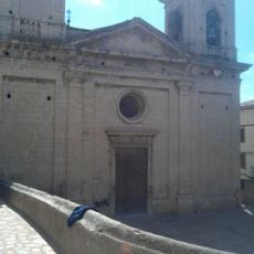
Church of the Assumption
10.9 km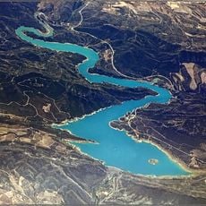
Calanda reservoir
9.3 kmReviews
Visited this place? Tap the stars to rate it and share your experience / photos with the community! Try now! You can cancel it anytime.
Discover hidden gems everywhere you go!
From secret cafés to breathtaking viewpoints, skip the crowded tourist spots and find places that match your style. Our app makes it easy with voice search, smart filtering, route optimization, and insider tips from travelers worldwide. Download now for the complete mobile experience.

A unique approach to discovering new places❞
— Le Figaro
All the places worth exploring❞
— France Info
A tailor-made excursion in just a few clicks❞
— 20 Minutes