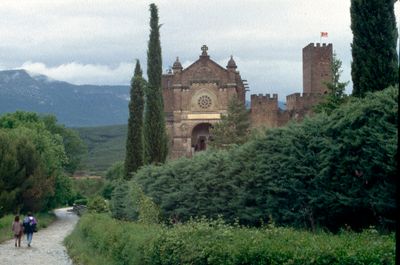
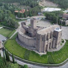
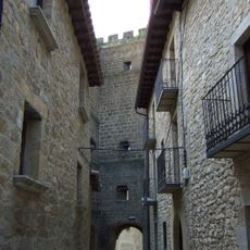
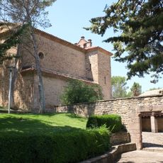
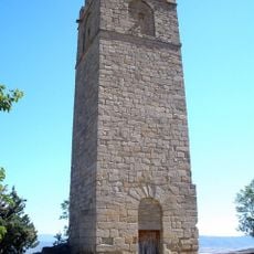
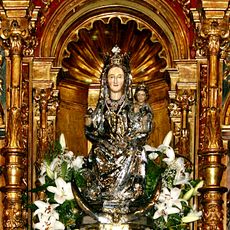
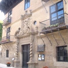
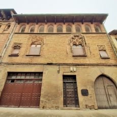
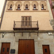
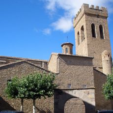
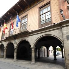
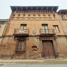
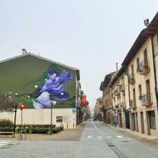
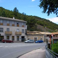
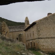
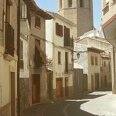
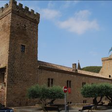
Javier, Spanish municipality
Location: Navarre
Location: Merindade of Sangüesa
Location: Comarca de Sangüesa
Capital city: Javier
Elevation above the sea: 448 m
Part of: Mancomunitat de Sangüesa
Shares border with: Sos del Rey Católico, Cáseda, Sangüesa/Zangoza, Yesa, Liédena
GPS coordinates: 42.59156,-1.20924
Latest update: March 8, 2025 04:20
Castle of Xabier
606 m
Church of Santa María la Real
6.4 km
Palacio de los Sada
10.7 km
Muralla de Sos del Rey Católico
10.5 km
Church and abbey of Javier
634 m
Castle of Peña Felizana
10.5 km
Nuestra Señora de Rocamador
6.4 km
Cabezo Ladrero
18.4 km
Palacio de los Sebastianes
6.2 km
Convent of San Francisco de Asís, Sangüesa
6.3 km
Puente de Hierro, Sangüesa
6.5 km
Palace of Ongay-Vallesantoro
6.4 km
Palacio de Añués
6.4 km
Palacio París Íñiguez Abarca
6.2 km
Church of Santiago, Sangüesa
6.3 km
Town hall of Sangüesa
6.3 km
Palacio de los Íñiguez-Abarca
6.4 km
Zangoza Berria
6.3 km
Oltra
6.5 km
San Martin eliza
13.1 km
Zangoza Hiribildua
6.4 km
Rocaforteko gaztelua
6.7 km
Palacio-Castillo del Príncipe de Viana
6.3 km
Church of San Salvador, Sangüesa
6.4 km
Convent of El Carmen, Sangüesa
6.5 km
Iglesia parroquial de Rocaforte
6.7 km
Santa Olaia eliza
9.1 km
Bideko Andre Mariaren baseliza
9.4 kmVisited this place? Tap the stars to rate it and share your experience / photos with the community! Try now! You can cancel it anytime.
Discover hidden gems everywhere you go!
From secret cafés to breathtaking viewpoints, skip the crowded tourist spots and find places that match your style. Our app makes it easy with voice search, smart filtering, route optimization, and insider tips from travelers worldwide. Download now for the complete mobile experience.
A unique approach to discovering new places❞
— Le Figaro
All the places worth exploring❞
— France Info
A tailor-made excursion in just a few clicks❞
— 20 Minutes