
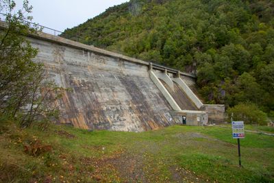
Pantà de Graus, Stausee in Spanien
Location: Pallars Sobirà
Elevation above the sea: 1,352 m
GPS coordinates: 42.67340,1.23590
Latest update: March 7, 2025 00:49
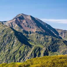
Cim del Mont-roig
6.4 km
Pantà de Tavascan
4.2 km
Pic de Certascan
5.5 km
Tuc del Caubo
2.3 km
Pico de Ventolau
4.2 km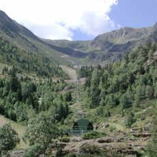
Campirme
3.8 km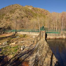
Cerbi dam
6.7 km
Planell de Sartari
5.4 km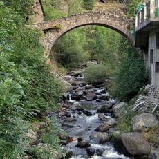
Pont Vell de Tavascan
3.7 km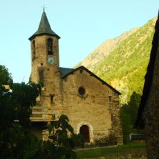
Sant Bartomeu de Tavascan
3.7 km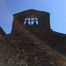
Sant Romà d'Aineto
4.1 km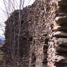
Castell de Lladorre
6 km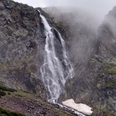
Sartari waterfall
5.1 km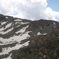
Pic de la Gallina
5.8 km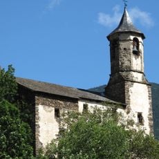
Sant Martí de Lladorre
6 km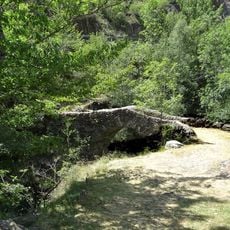
Pont de Borito
5.3 km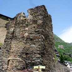
Sant Simó de Tavascan
3.7 km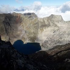
Pic de la Lleia
5 km
Cap de Canalets
5.6 km
Pic de Marterat ou Pic de la Core de l’Aliot
4.7 km
Pic de Lasaugède ou de Bonrepos
5.6 km
Pic de Guerossos
5 km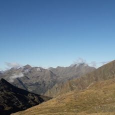
Piquet de Guerossos
4.7 km
Presa de Tavascan
4.3 km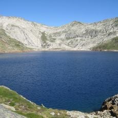
Presa de Certascan
6.8 km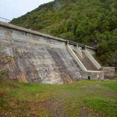
Presa de Graus
4.7 km
Borda de Montalto
6 km
La Molina
3.6 kmReviews
Visited this place? Tap the stars to rate it and share your experience / photos with the community! Try now! You can cancel it anytime.
Discover hidden gems everywhere you go!
From secret cafés to breathtaking viewpoints, skip the crowded tourist spots and find places that match your style. Our app makes it easy with voice search, smart filtering, route optimization, and insider tips from travelers worldwide. Download now for the complete mobile experience.

A unique approach to discovering new places❞
— Le Figaro
All the places worth exploring❞
— France Info
A tailor-made excursion in just a few clicks❞
— 20 Minutes