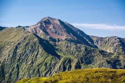
Cim del Mont-roig, Mountain peak in Pyrenees, France and Spain
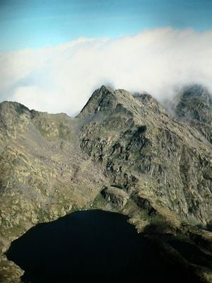
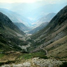
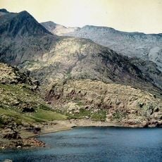
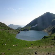
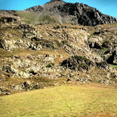
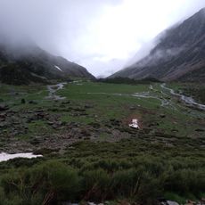
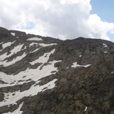
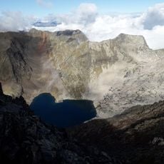
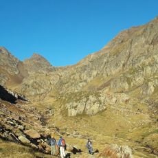
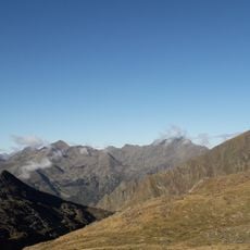
Cim del Mont-roig is a mountain peak in the Pyrenees reaching 2864 meters above sea level with exposed sandstone and lutite formations. The northern face displays steep rocky terrain while the southern slopes transition to gentler alpine meadows.
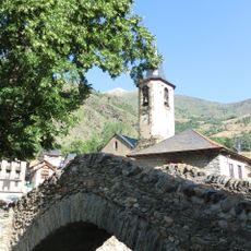
The mountain formed through geological processes that created its distinctive layered composition of sandstone and lutite rock. Both French and Spanish communities historically recognized and used this peak as a natural boundary marker between their territories.
The peak marks a natural boundary between two countries and shepherds have used the slopes for grazing across the seasons. This traditional pastoral practice continues to shape the landscape visible from both the French and Spanish sides.
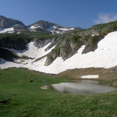
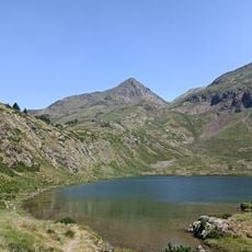
The peak is accessible to experienced mountaineers but requires good weather conditions and careful preparation. The nearest shelter is the Pleta del Prat refuge at lower elevation, making it the standard base for anyone attempting the summit.
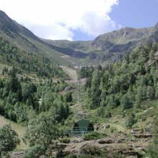
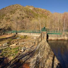
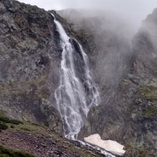
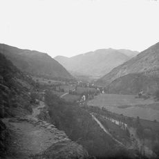
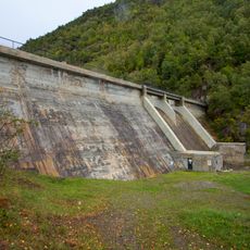
The Salat River originates from the mountain's northern slopes and flows downward through French territory. This small waterway begins its journey toward becoming a tributary of the Garonne River.
The community of curious travelers
AroundUs brings together thousands of curated places, local tips, and hidden gems, enriched daily by 60,000 contributors worldwide.