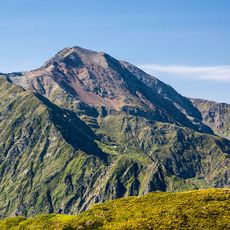
Miranda de la Costa Blava, mountain in Spain
Location: Lladorre
Elevation above the sea: 2,316.8 m
GPS coordinates: 42.69121,1.21955
Latest update: November 14, 2025 18:54
Cim del Mont-roig
4.1 km
Tuc del Caubo
4.1 km
Pico de Ventolau
2.4 km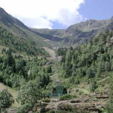
Campirme
4.1 km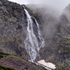
Sartari waterfall
4 km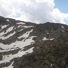
Pic de la Gallina
3.7 km
Pic de la Coma de Forn
2.8 km
Pic del Port de Tavascan
4.1 km
Cap de Ruhos
4.2 km
Pic de Montareing
3.2 km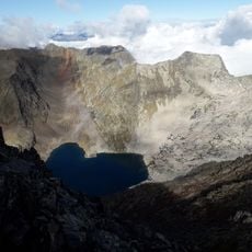
Pic de la Lleia
4.3 km
Borda amb coberta de palla de Graus
2.9 km
Pic des Rouges
3.6 km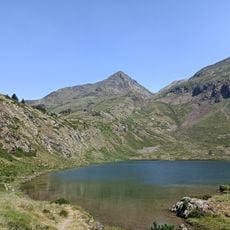
Pic de Marterat ou Pic de la Core de l’Aliot
3.7 km
Pic des Tovarres
4.3 km
Pic de Sabollés
4.4 km
Tuc de la Cima
3.1 km
Pic de Soliguera
3.9 km
Trencacalders
3.5 km
Cap de Ruhos
4 km
Pic de Montareing
3.3 km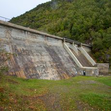
Pantà de Graus
2.4 km
Scenic viewpoint
2 km
Mirador del Corbiu
2.5 km
Ruins
4 km
Ruins
2.5 km
Cascada de Llavera
2.7 km
Cascada de Noarre
2 kmReviews
Visited this place? Tap the stars to rate it and share your experience / photos with the community! Try now! You can cancel it anytime.
Discover hidden gems everywhere you go!
From secret cafés to breathtaking viewpoints, skip the crowded tourist spots and find places that match your style. Our app makes it easy with voice search, smart filtering, route optimization, and insider tips from travelers worldwide. Download now for the complete mobile experience.

A unique approach to discovering new places❞
— Le Figaro
All the places worth exploring❞
— France Info
A tailor-made excursion in just a few clicks❞
— 20 Minutes