El Capcir, mountain in Spain
Location: La Nou de Berguedà
Elevation above the sea: 945 m
GPS coordinates: 42.14140,1.88236
Latest update: November 18, 2025 06:51
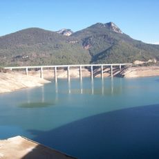
Pantà de la Baells
2.2 km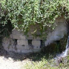
Pont de Rabentí
1.8 km
Molí de la Sala
1.8 km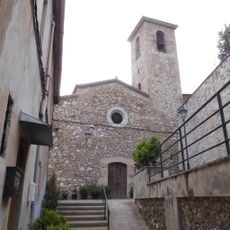
Santa Maria de Cercs
2 km
Puigmorer
2.1 km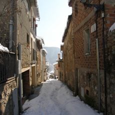
Carrer Cap de la Costa
1.8 km
El Gall
2 km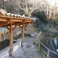
Safareig de la Font Gran
1.9 km
Can Planes
1.5 km
Casadessús
1.1 km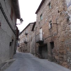
Carrer Major de Cercs
2 km
El Pla
1.9 km
Safareig del Torrent de Peguera
1.9 km
Cal Tuyes
1.9 km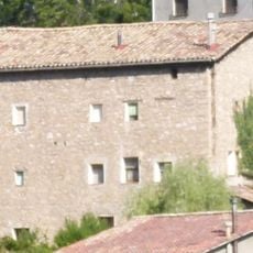
Cal Rovira
1.9 km
Cal Co
1.9 km
La Vitarella
959 m
Miralles
2.1 km
Terradelles
761 m
Safareig del carrer de la Costa
1.9 km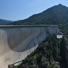
Reservoir of la Baells
2.2 km
Pont de Miralles
1.8 km
Pont de la Baells
1.6 km
Aqüeducte del torrent de les Garrigues
2.2 km
Nucli antic del Pont de Rabentí
2 km
Mirador del Pla de la Gotzera
1.6 km
Waterfall
1.3 km
Waterfall
1.2 kmReviews
Visited this place? Tap the stars to rate it and share your experience / photos with the community! Try now! You can cancel it anytime.
Discover hidden gems everywhere you go!
From secret cafés to breathtaking viewpoints, skip the crowded tourist spots and find places that match your style. Our app makes it easy with voice search, smart filtering, route optimization, and insider tips from travelers worldwide. Download now for the complete mobile experience.

A unique approach to discovering new places❞
— Le Figaro
All the places worth exploring❞
— France Info
A tailor-made excursion in just a few clicks❞
— 20 Minutes