
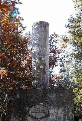
El Bou, triangulation station in Taradell, Spain
Location: Taradell
Elevation above the sea: 867.441 m
Height: 1.2 m
Part of: Red Geodésica Nacional por Técnicas Espaciales
GPS coordinates: 41.87081,2.32087
Latest update: March 10, 2025 05:07
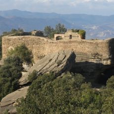
Castell de Taradell
1.1 km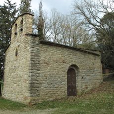
Sant Quirze de Subiradells
2.1 km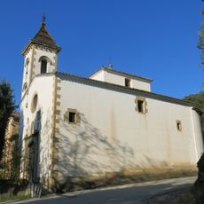
Puig-l'agulla de Sant Julià de Vilatorta
1.7 km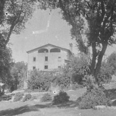
La Sala de Vilalleons
2.2 km
Espinzella
2.3 km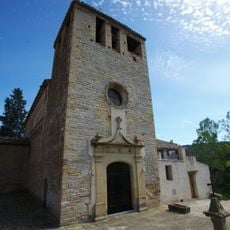
Santa Maria de Vilalleons
2.3 km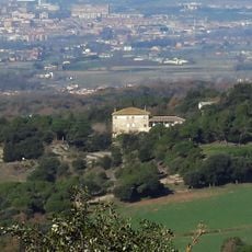
El Pujol
1.7 km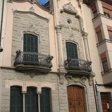
Villa Maria
2.7 km
La Roca
2.1 km
Can Vila-rasa
2.7 km
Hostatgeria de Puig-l'agulla
1.7 km
Can Xec
2.8 km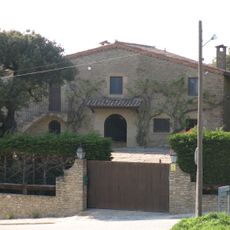
L'Hostalet del Bou
1.4 km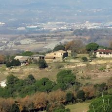
El Bou
1.4 km
Can Tito
2.8 km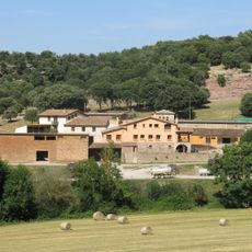
La Vallmitjana
2.1 km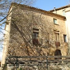
Rectoria de Santa Maria de Vilalleons
2.3 km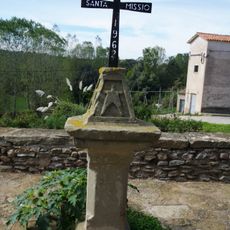
Creu de la Santa Missió
2.3 km
La Codina
2.2 km
Can Sala
2.7 km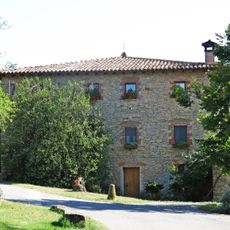
Pratsavall
2.7 km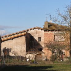
La Valldavall
2.3 km
Creu de la Torre de Sant Sebastià
2.6 km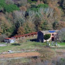
Mansa
560 m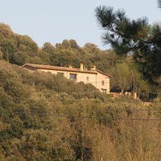
Can Costa
2.1 km
L'Esquís
2.7 km
Mascarell
2.3 km
La Valldamunt
2 kmReviews
Visited this place? Tap the stars to rate it and share your experience / photos with the community! Try now! You can cancel it anytime.
Discover hidden gems everywhere you go!
From secret cafés to breathtaking viewpoints, skip the crowded tourist spots and find places that match your style. Our app makes it easy with voice search, smart filtering, route optimization, and insider tips from travelers worldwide. Download now for the complete mobile experience.

A unique approach to discovering new places❞
— Le Figaro
All the places worth exploring❞
— France Info
A tailor-made excursion in just a few clicks❞
— 20 Minutes