
Santa Tegra, triangulation station in A Guarda, Spain
Location: A Guarda
Elevation above the sea: 342.582 m
Height: 1.2 m
GPS coordinates: 41.88802,-8.87142
Latest update: March 3, 2025 03:07

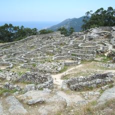
Castro of Santa Trega
543 m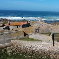
Forte da Ínsua
3.2 km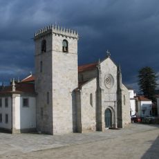
Igreja Matriz de Caminha
2.9 km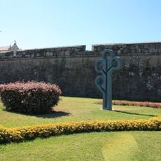
Conjunto fortificado de Caminha
3 km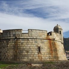
Castle of Santa Cruz of A Guarda
1.8 km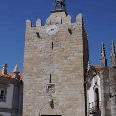
Torre do Relógio (Caminha)
3 km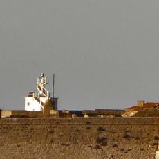
Insua Lighthouse
3.2 km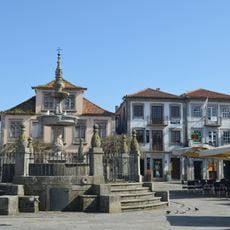
Chafariz da Praça Municipal
3.1 km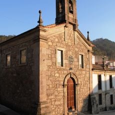
Convento de San Bieito da Guarda
1.4 km
Casa dos Pitas
3.1 km
Colexio dos xesuítas de Camposancos
1.7 km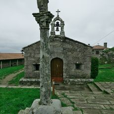
Ermita de Santa Trega de La Guardia
99 m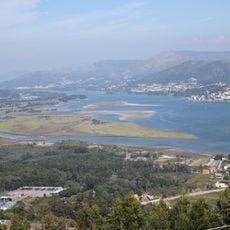
Isla Canosa
3.5 km
Igreja de Santa Clara
3.1 km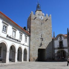
Câmara Municipal de Caminha
3 km
Corpo da Guarda de Caminha
3 km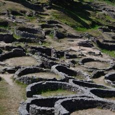
Grabado Rupestre Castro de Santa Tecla
547 m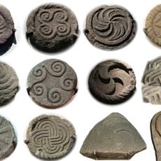
Museo Promonte de Santa Tecla
67 m
Estação arqueológica do Alto do Coto da Pena
3.9 km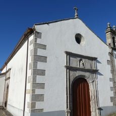
Vilarelho church
3.4 km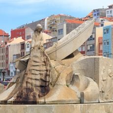
Monument to sailor
1.2 km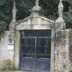
Casa de Esteiró, jardins e mata anexa
3.2 km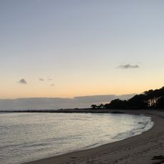
Playa Camposancos
1.7 km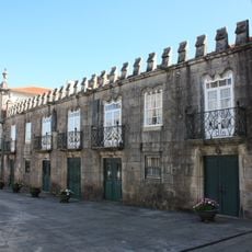
Centro histórico de Caminha
3 km
Convento de Santo António
3.2 km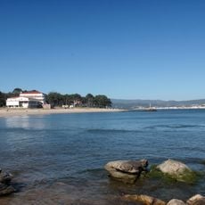
O Muíño
1.8 km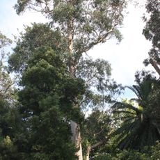
Árvore isolada em Casa de Esteiró
3.2 km
Árvore isolada em Casa de Esteiró
3.2 kmReviews
Visited this place? Tap the stars to rate it and share your experience / photos with the community! Try now! You can cancel it anytime.
Discover hidden gems everywhere you go!
From secret cafés to breathtaking viewpoints, skip the crowded tourist spots and find places that match your style. Our app makes it easy with voice search, smart filtering, route optimization, and insider tips from travelers worldwide. Download now for the complete mobile experience.

A unique approach to discovering new places❞
— Le Figaro
All the places worth exploring❞
— France Info
A tailor-made excursion in just a few clicks❞
— 20 Minutes