
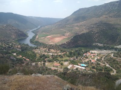
Mirador del Salto de Saucelle, viewpoint of the Saucelle Dam, Arribes del Duero natural park
Location: Saucelle
Elevation above the sea: 372 m
GPS coordinates: 41.04251,-6.79800
Latest update: October 24, 2025 17:19
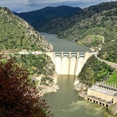
Saucelle Dam
740 m
La Ramajería
11.6 km
Las Merchanas Hill Fort
14.2 km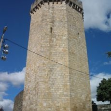
Castelo de Freixo de Espada à Cinta
5.6 km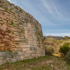
El Castillo Hill Fort
12.8 km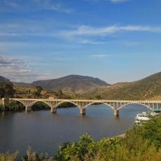
Ponte Almirante Sarmento Rodrigues
12.1 km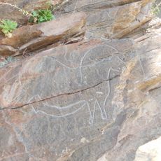
Estação com gravuras rupestres em Mazouco
11.3 km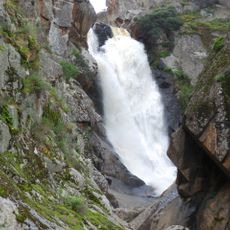
Cachón del Camaces
4.5 km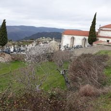
Chapel of Our Lady of the Castle, Vilvestre
8.9 km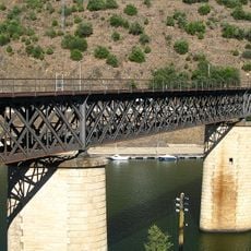
Águeda River International Railway Bridge
11.2 km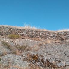
Vilvestre Castle
8.9 km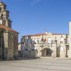
Iglesia de Nuestra Señora de la Asunción (Vilvestre)
9.2 km
Pelourinho de Freixo de Espada à Cinta
5.3 km
Museo-Biblioteca Casa de los Frailes
9.2 km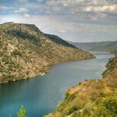
Saucelle Reservoir
4.2 km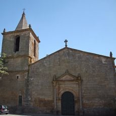
Igreja Matriz de Nossa Senhora dos Anjos de Escalhão
14.9 km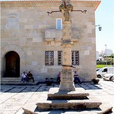
Câmara Municipal de Freixo de Espada-à-Cinta
5.3 km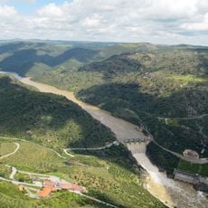
Miradouro de Penedo Durão
1.8 km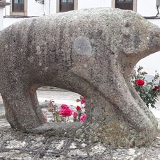
Burro de la Barrera
13.7 km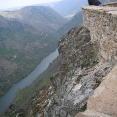
Mirador del Aguila, Mieza
14.6 km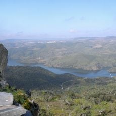
Mirador del Castillo, Vilvestre
8.8 km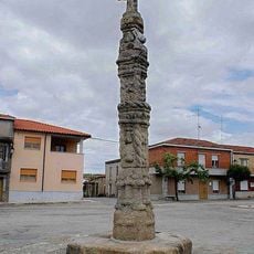
Rollo de justicia de Vilvestre
9.4 km
Mirador del embalse de Saucelle
656 m
Mirador del Huebra
12.8 km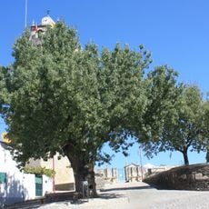
Árvore isolada em junto à Igreja Matriz
5.6 km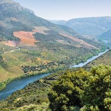
Mirador de Mafeito
6.1 km
Mirador del Cachón de Camaces
4.5 km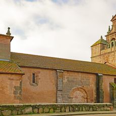
Church of Saint Mary Magdalene, Bermellar
11.7 kmVisited this place? Tap the stars to rate it and share your experience / photos with the community! Try now! You can cancel it anytime.
Discover hidden gems everywhere you go!
From secret cafés to breathtaking viewpoints, skip the crowded tourist spots and find places that match your style. Our app makes it easy with voice search, smart filtering, route optimization, and insider tips from travelers worldwide. Download now for the complete mobile experience.

A unique approach to discovering new places❞
— Le Figaro
All the places worth exploring❞
— France Info
A tailor-made excursion in just a few clicks❞
— 20 Minutes