
Campamento romano de Aranguren, Arangurengo erromatar kanpalekua, Arangurengo bailaran, Zarbeta (edo Zaroeta edo Zarueta) mendiaren tontorrean
Location: Aranguren
Elevation above the sea: 663 m
GPS coordinates: 42.77887,-1.55045
Latest update: April 19, 2025 13:11

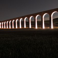
Aqueduct of Noáin
6.9 km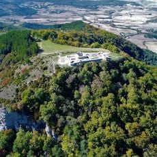
Castle of Irulegi
3 km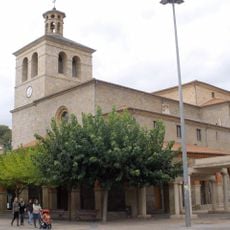
Church of San Juan Evangelista, Huarte
6.7 km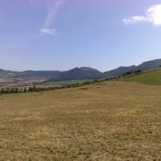
Irulegi
3 km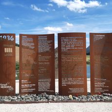
Elo - 1936 Memoriagunea
6.2 km
Gorraizko gaztelua
5.4 km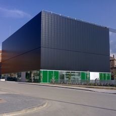
Huarte Contemporary Art Centre
6.9 km
Parish of San Miguel, Noáin
7.2 km
Casa consistorial de Huarte
6.7 km
Centro Cultural de Noáin
7.2 km
Church of San Miguel, Noáin
7.1 km
Town hall of Burlada
7.1 km
Church of Santa Engracia, Sarriguren
5.5 km
Town hall of Noáin
7.2 km
Town hall of Egüés
5.2 km
Santa Engrazia baseliza
5.4 km
Ikerkundeko Andre Mariaren eliza
5 km
San Migel eliza
7.3 km
Jasokundeko Andre Mariaren eliza
3.7 km
San Lorentzo eliza
6.2 km
San Pedro eliza berria
5.3 km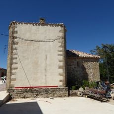
San Andres eliza
7.2 km
Santa Ageda eliza
5.2 km
San Pedro eliza
6.5 km
Santa Eulalia eliza
5.5 km
Clínica San Juan de Dios
7.3 km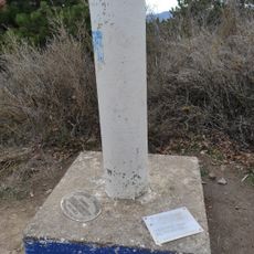
Malkaitz
3.6 km
Atarrabiako San Andres errota
7.1 kmVisited this place? Tap the stars to rate it and share your experience / photos with the community! Try now! You can cancel it anytime.
Discover hidden gems everywhere you go!
From secret cafés to breathtaking viewpoints, skip the crowded tourist spots and find places that match your style. Our app makes it easy with voice search, smart filtering, route optimization, and insider tips from travelers worldwide. Download now for the complete mobile experience.

A unique approach to discovering new places❞
— Le Figaro
All the places worth exploring❞
— France Info
A tailor-made excursion in just a few clicks❞
— 20 Minutes