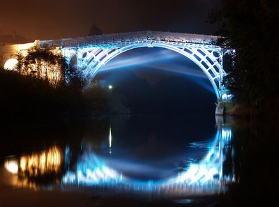
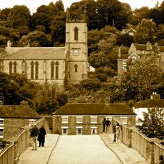
The Iron Bridge, Cast iron arch bridge in Ironbridge, England
The Iron Bridge is a cast iron arch bridge over the River Severn in the town of Ironbridge in England. The structure consists of five major cast iron ribs forming a span of roughly 60 meters (197 feet) and rising approximately 30 meters (98 feet) above the water level.
Thomas Farnolls Pritchard designed the structure in 1775, and work began in 1777 under the direction of Abraham Darby III, an ironmaster from the nearby Coalbrookdale foundry. The bridge opened to traffic in 1779 and remained passable for wheeled vehicles until 1934, when it was reserved exclusively for pedestrians.
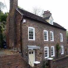
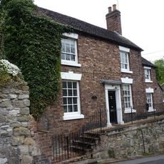
The name Iron Bridge became the identifier for the surrounding village and later for the entire gorge, making this structure a geographic reference for the region. Visitors can walk across today and observe how the individual cast pieces connect using traditional carpentry techniques borrowed from timber construction.
The crossing is now open only to pedestrians and provides a pathway over the river where you can examine the joints and details of the construction up close. On sunny days a walk is most rewarding in the early morning or late afternoon when the light brings out the iron surfaces particularly well.
The entire structure is made up of roughly 800 separate cast iron elements weighing around 384 tons in total. Each piece was cast at the nearby Coalbrookdale foundry and assembled on site using no screws or bolts, with parts fitted and wedged together instead.
The community of curious travelers
AroundUs brings together thousands of curated places, local tips, and hidden gems, enriched daily by 60,000 contributors worldwide.