
Collingbourne Ducis, village in United Kingdom
Location: Wiltshire
Website: http://collingbourne-ducis.com
GPS coordinates: 51.28222,-1.65174
Latest update: March 26, 2025 06:30
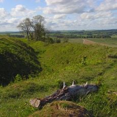
Sidbury Camp
4.3 km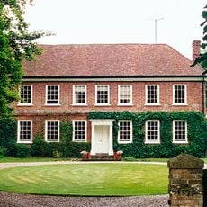
Brunton House
2.4 km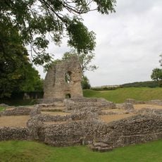
Ludgershall Castle
3.2 km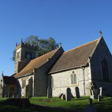
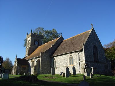
Church of St Andrew
181 m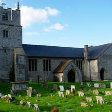
Church of St James
3.4 km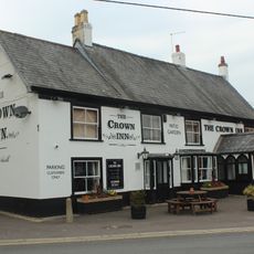
The Crown Inn
3.6 km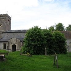
Church of St Mary
2.2 km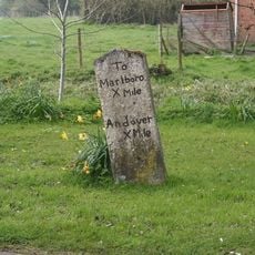
Milestone Approximately 30 Metres South Of Church Street Junction
37 m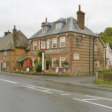
Blue Lion Inn
39 m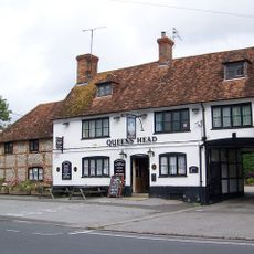
Queens Head Public House
3.5 km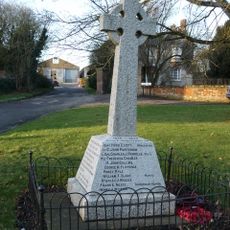
Collingbourne Ducis War Memorial
145 m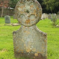
Unidentified Monument In Churchyard, Approximately 16 Metres South Of South Porch, Church Of St James
3.5 km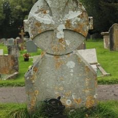
Unidentified Monument In Churchyard, Approximately 13 Metres South Of Tower, Church Of St James
3.5 km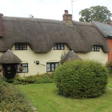
The Thatched Cottage
3.4 km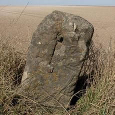
Milestone On Gore Down
2.9 km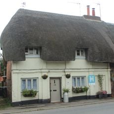
15, 17 And 19, Castle Street
3.4 km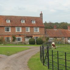
Biddesden Farmhouse
5.4 km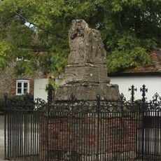
Ludgershall village cross
3.5 km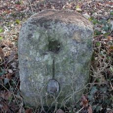
Milestone 1 Mile West Of Ludgershall Village
3 km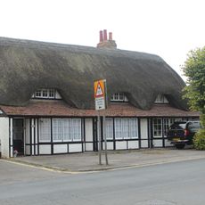
1 and 3, Castle Street
3.5 km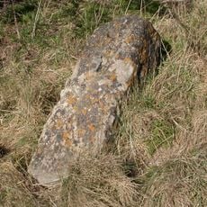
Milestone South-West Of Hougoumont Farm
2.1 km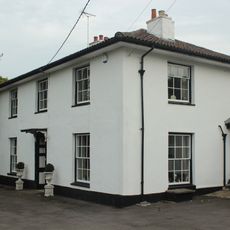
27, Tidworth Road
3.6 km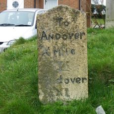
Milestone In Front Of Milend, At South End Of Village
1.6 km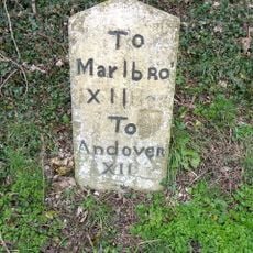
Milestone Opposite Aughton Farm
3.1 km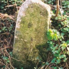
Milestone 80 Metres South Of Cadley Road Junction
973 m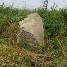
Milestone On Sunnyhill Down
2 km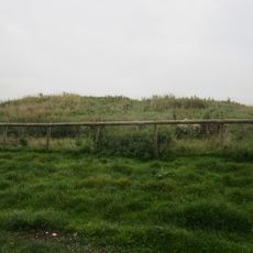
Long barrow on Fairmile Down
3.3 km
Milestone 100 Metres North Of Junction With A346
1.6 kmReviews
Visited this place? Tap the stars to rate it and share your experience / photos with the community! Try now! You can cancel it anytime.
Discover hidden gems everywhere you go!
From secret cafés to breathtaking viewpoints, skip the crowded tourist spots and find places that match your style. Our app makes it easy with voice search, smart filtering, route optimization, and insider tips from travelers worldwide. Download now for the complete mobile experience.

A unique approach to discovering new places❞
— Le Figaro
All the places worth exploring❞
— France Info
A tailor-made excursion in just a few clicks❞
— 20 Minutes