
Wheston, village and civil parish in Derbyshire, England
Location: Derbyshire Dales
Shares border with: Tideswell, Wormhill, Peak Forest
GPS coordinates: 53.28000,-1.80000
Latest update: March 2, 2025 21:53
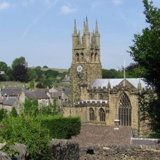
St John the Baptist, Tideswell
1.8 km
House To The West Of Church Cottage
1.8 km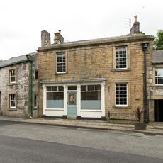
Building to the south west of and adjoining The Old Bulls Head
1.8 km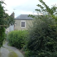
Elm Tree House
1.8 km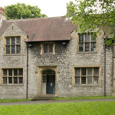
St Johns Institute
1.8 km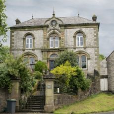
Picture House
1.7 km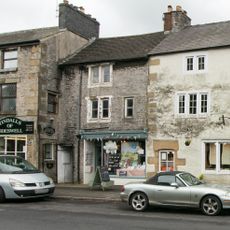
Premises occupied by 'Yesterday Antiques'
1.8 km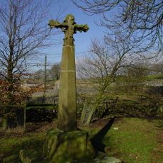
Wheston Cross
585 m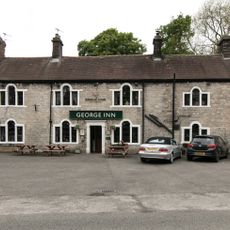
The George Hotel And Outbuildings To East
1.9 km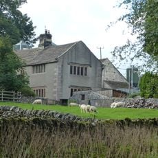
Old Hall Farmhouse
1.9 km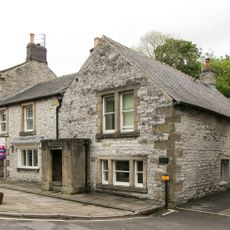
Markeygate House
1.8 km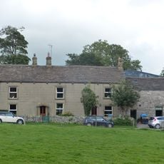
Knotlow Farmhouse and attached outbuilding
1.9 km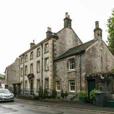
Blake House
1.7 km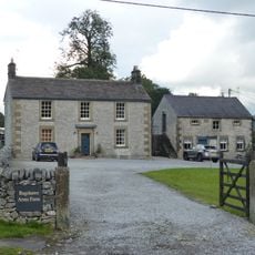
House To The East Of Bateman's Farm
1.9 km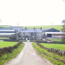
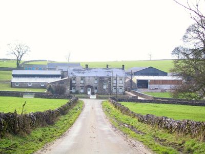
Wheston Hall, gate piers and boundary walls
492 m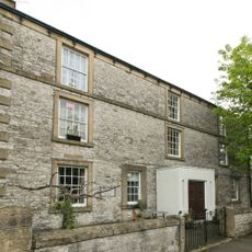
The Old College
1.7 km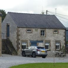
Outbuilding To The South South East Of House To The East Of Bateman's Farm (Item 5/64)
1.9 km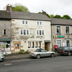
Premises Occupied By The Medeira House Restaurant
1.8 km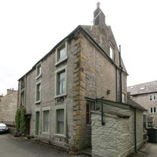
Top House
1.8 km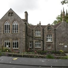
Building Occupied By The County Library Service
1.8 km
Barn To The North West Of Old Hall Farmhouse
1.9 km
Barn To The West Of Old Hall Farmhouse
1.9 km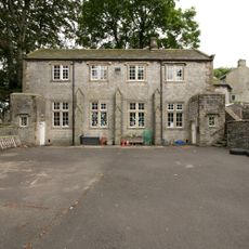
The Old Grammar School
1.8 km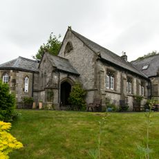
Premises Occupied By High Peak Plastics Limited
1.9 km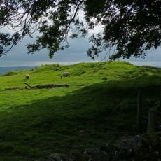
Tides Low bowl barrow, limekiln and standing stone
2.6 km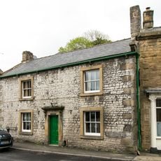
The Old Bulls Head
1.8 km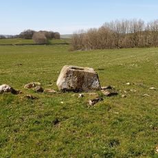
Wind Low bowl barrow and standing cross
2.1 km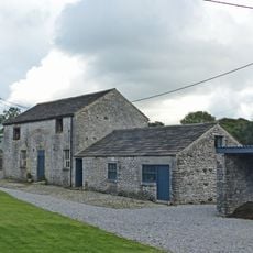
Outbuilding to the south west of house to the east of Batemans Farm
1.9 kmVisited this place? Tap the stars to rate it and share your experience / photos with the community! Try now! You can cancel it anytime.
Discover hidden gems everywhere you go!
From secret cafés to breathtaking viewpoints, skip the crowded tourist spots and find places that match your style. Our app makes it easy with voice search, smart filtering, route optimization, and insider tips from travelers worldwide. Download now for the complete mobile experience.

A unique approach to discovering new places❞
— Le Figaro
All the places worth exploring❞
— France Info
A tailor-made excursion in just a few clicks❞
— 20 Minutes