
Cropredy, village and civil parish in Cherwell district, Oxfordshire, England
Location: Cherwell
Shares border with: Claydon with Clattercot, Wardington, Bourton, Prescote, Mollington
Website: http://cropredyvillage.info
GPS coordinates: 52.11600,-1.32000
Latest update: March 3, 2025 01:53
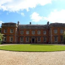
Farnborough Hall
4.4 km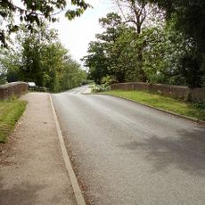
Cropredy Bridge
371 m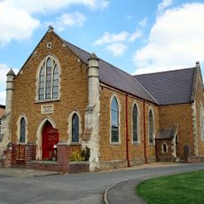
Cropredy Methodist Church
274 m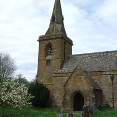
Church of St Botolph, Farnborough, Warks
4.4 km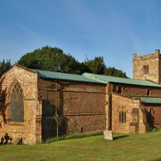
Church of All Saints
2.6 km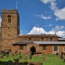
Church of St Mary Magdalene
2.5 km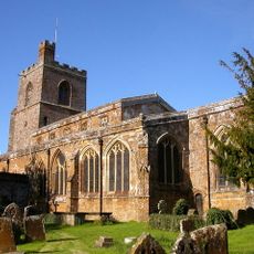
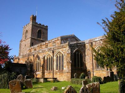
Church of St Mary the Virgin
243 m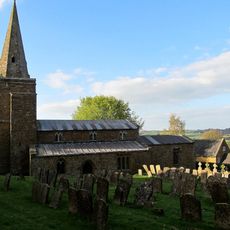
Church of St Lawrence
4.2 km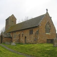
Church of St James the Great
3.6 km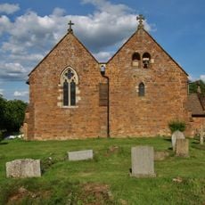
Church of All Saints
1.5 km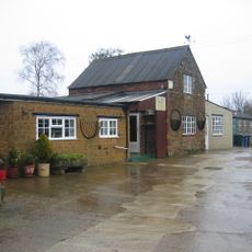
Bygones Museum
3.5 km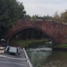
Field Bridge Number 155 Over Oxford Canal
1.2 km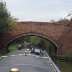
Field Bridge Number 156 Over Oxford Canal
1.7 km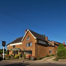
The Brasenose Arms
103 m
Beam Cottage Dingles And Cottage Abutting On Right
166 m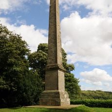
Farnborough Hall The Obelisk
4.1 km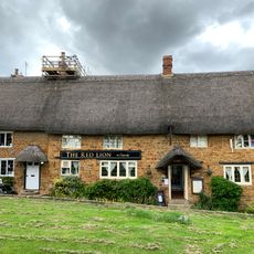
Red Lion Public House
284 m
Lychgate at Church of All Saints
1.5 km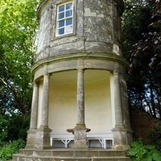
Farnborough Hall The Oval Pavilion
4.3 km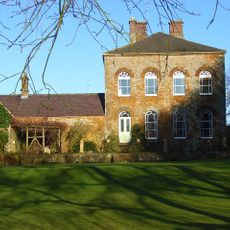
Prescote Manor
735 m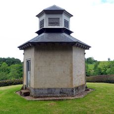
The Game Larder
4.4 km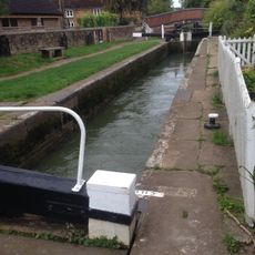
Cropredy Lock Oxford Canal
354 m
Constone
79 m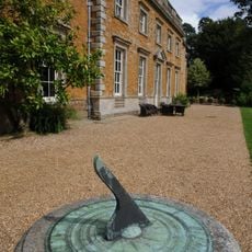
Farnborough Hall Sundial Approximately 4 Metres West
4.6 km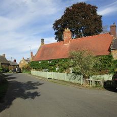
House Abutting And To Left Of Wisteria Cottage
2.5 km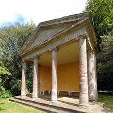
The Ionic Temple
4.3 km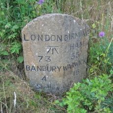
Milestone, rear northern village turn
4.8 km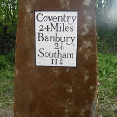
Milestone, near Little Bourton, 2 miles N of Banbury
2.8 kmReviews
Visited this place? Tap the stars to rate it and share your experience / photos with the community! Try now! You can cancel it anytime.
Discover hidden gems everywhere you go!
From secret cafés to breathtaking viewpoints, skip the crowded tourist spots and find places that match your style. Our app makes it easy with voice search, smart filtering, route optimization, and insider tips from travelers worldwide. Download now for the complete mobile experience.

A unique approach to discovering new places❞
— Le Figaro
All the places worth exploring❞
— France Info
A tailor-made excursion in just a few clicks❞
— 20 Minutes