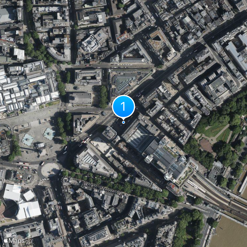
Inner London, Statistical territorial entity in Greater London, United Kingdom.
Inner London is a statistical territorial entity in Greater London that brings together twelve boroughs such as Camden, Hackney, and Hammersmith and Fulham. This densely populated zone forms the geographic and administrative heart of the capital.
The administrative unit was created in 1965 through the London Government Act of 1963, which redefined boundaries within the metropolitan area. Earlier administrative models were dissolved and replaced by a system that better reflected the growing city.
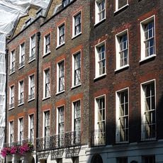
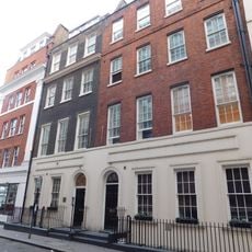
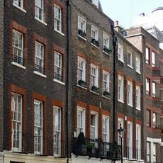
Each borough in Inner London maintains its own distinct identity through local markets, residential neighborhoods, and community centers serving diverse populations.
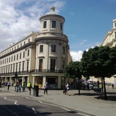
The twelve boroughs are connected by underground lines, bus routes, and cycle paths that allow movement between residential and commercial districts. Orientation is possible through street names and borough signs, as each borough maintains its own public transport hubs.
The zone records the highest GDP per capita in Europe, exceeding 80,000 euros. Around 200,000 businesses are based in these twelve boroughs and contribute to the economic dynamism.
The community of curious travelers
AroundUs brings together thousands of curated places, local tips, and hidden gems, enriched daily by 60,000 contributors worldwide.