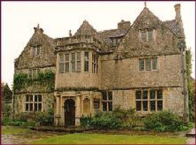
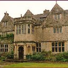
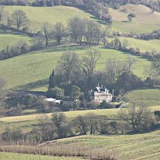
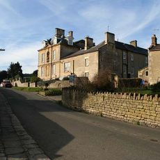
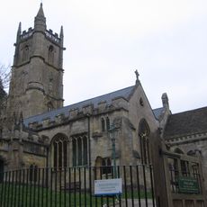
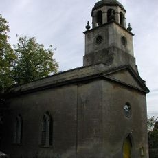
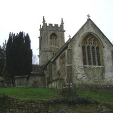
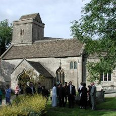
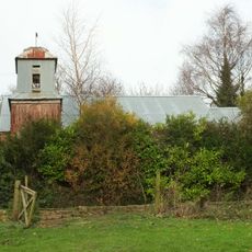
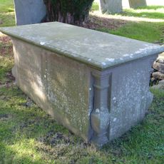
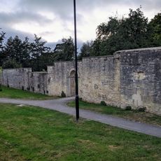
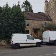
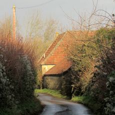
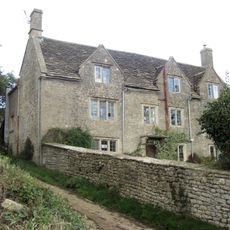
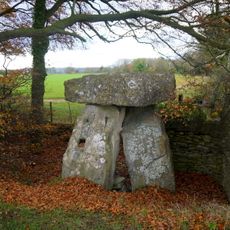
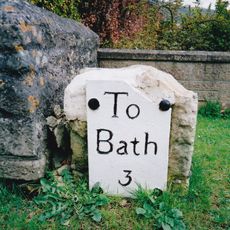
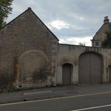
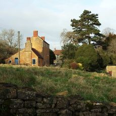
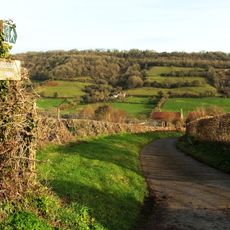
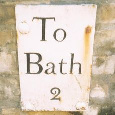
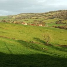
St Catherine, village in Somerset
Location: Bath and North East Somerset
GPS coordinates: 51.43260,-2.32000
Latest update: March 4, 2025 02:11
Little Solsbury Hill
2.7 km
St Catherine's Court
255 m
Ashcombe House
3.1 km
Eagle House
2.1 km
Church of St John The Baptist, Batheaston
2.6 km
All Saints Church, Woolley
3.4 km
Church of St Catherine, St Catherine
211 m
Church of St Mary
3 km
Former Bailbrook Mission Church
3.5 km
Monument to Lewis Bryon in churchyard to south west of St Mary Magdalene's Church
3.9 km
Section Of Garden Wall 100 Yards To South East Of Batheaston House, Including Niche And Garden Seat
3 km
Fiveways House
3 km
Toll House
3.5 km
Retaining Wall And Central Flight Of Steps,immediately To North East Of St Catherine's Court
220 m
292, High Street
3 km
245 And 247, London Road East
3.1 km
Twinfield Farmhouse
3.8 km
Milestone At National Grid Reference St 7628 6734
3.4 km
Manor Farmhouse
3.6 km
Three Shire Stones
1.8 km
Gatepier At Ngr St 7699 7266
2.4 km
Milestone At Ngr St 7854 6759
2.9 km
Garage, 15 Yards To East Of No 290, High Street
3 km
Former Stable Approximately 40 Metres To South East Of Rose Cottage
3.3 km
Crossleaze Farmhouse
3.5 km
Milepost, London Road West, by Bathway House, No. 144
3.5 km
Barn To South Of Crossleaze Farmhouse
3.5 km
Milestone, Old Gloucester Road, N of Upper Swainswick
2.8 kmVisited this place? Tap the stars to rate it and share your experience / photos with the community! Try now! You can cancel it anytime.
Discover hidden gems everywhere you go!
From secret cafés to breathtaking viewpoints, skip the crowded tourist spots and find places that match your style. Our app makes it easy with voice search, smart filtering, route optimization, and insider tips from travelers worldwide. Download now for the complete mobile experience.
A unique approach to discovering new places❞
— Le Figaro
All the places worth exploring❞
— France Info
A tailor-made excursion in just a few clicks❞
— 20 Minutes