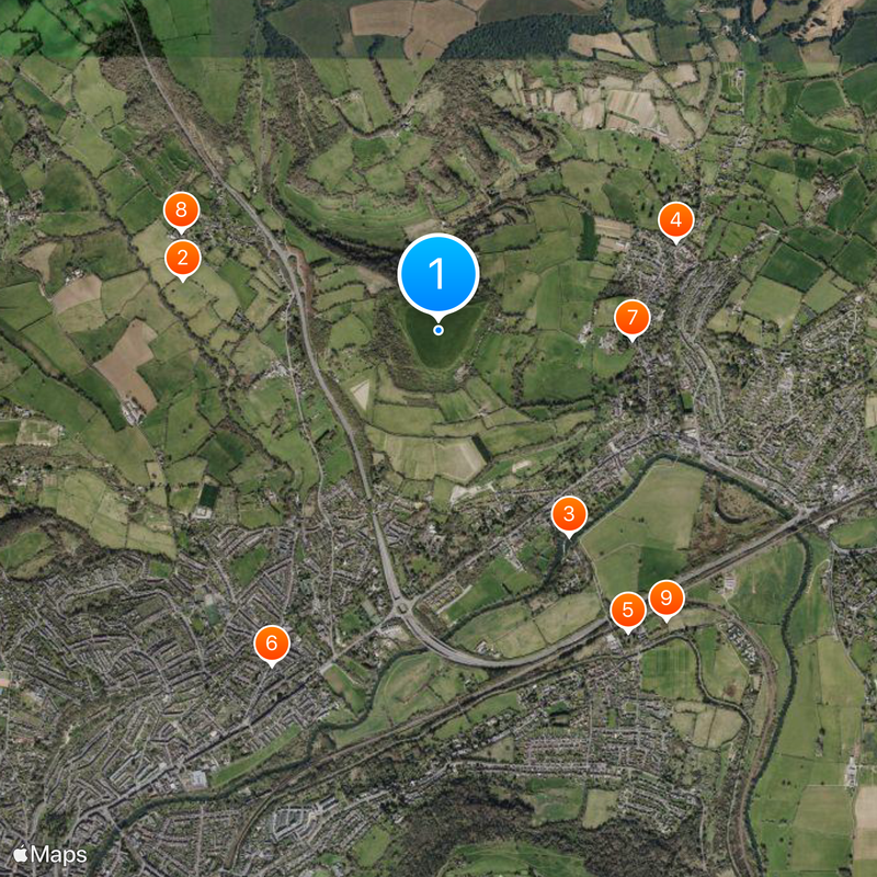
Little Solsbury Hill, Iron Age hill fort summit in Bath and North East Somerset, England
Description
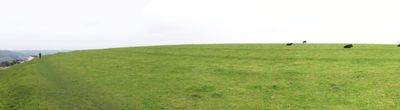
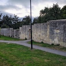
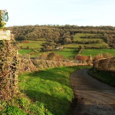
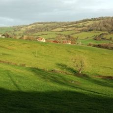
Little Solsbury Hill is an Iron Age hill fort in Bath and North East Somerset with a triangular layout enclosed by a single rampart of dry stone. The fort sits at an elevated position offering views across the valley and surrounding countryside.
History
Celtic people built and fortified the settlement between 300 and 100 BC as a defended community. The fort was abandoned before Roman times arrived, marking a shift in how the region was inhabited.
Culture
The name may come from an ancient Celtic word connected to the sun and sacred places in the region. Walking through the fort today, you can sense how its elevated position made it a place of importance for the people who lived there.
Practical
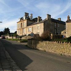
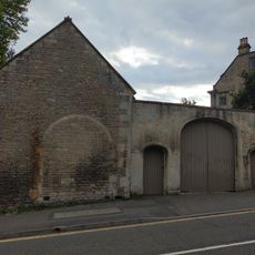
The site lies near Batheaston village and is accessible on foot, though it has no facilities or shelter at the summit. Visitors should wear sturdy footwear as the ground is uneven and exposed.
Did you know?
Excavations revealed more than 50 round house locations within the fort, showing how densely the settlement was packed. This discovery helps visitors picture what daily life might have looked like for the entire community living on this hilltop.
AroundUs brings together thousands of curated places, local tips, and hidden gems, enriched daily by 60,000 contributors worldwide. Discover all places nearby (Batheaston).
Ashcombe House
1.2 km
Bathampton Toll Bridge
1.1 km
Eagle House
1.2 km
Church of St Nicholas, Bathampton
1.7 km
Rondo Theatre
1.7 km
Church of St John The Baptist, Batheaston
896 m
Church of St Mary
1.3 km
Hampton Rocks Cutting
1.7 km
Alice Park
1.4 km
Former Bailbrook Mission Church
831 m
The George Inn Public House
1.7 km
Section Of Garden Wall 100 Yards To South East Of Batheaston House, Including Niche And Garden Seat
1.2 km
Fiveways House
1.3 km
Bridge Over The Railway, To North Of Canal Bridge
1.7 km
Boundary Marker On (Ngr St 7844 6721)
1.8 km
245 And 247, London Road East
1.4 km
Parish Boundary Post In Wall By The Lam Bridge
1.6 km
Toll House
1.1 km
292, High Street
1.2 km
Milestone At National Grid Reference St 7628 6734
793 m
Milestone At Ngr St 7854 6759
1.7 km
Garage, 15 Yards To East Of No 290, High Street
1.1 km
1-6, Canal Terrace
1.7 km
Twinfield Farmhouse
1.4 km
Crossleaze Farmhouse
1.7 km
Milepost, London Road West, by Bathway House, No. 144
1 km
Milestone, Old Gloucester Road, N of Upper Swainswick
1.4 km
Barn To South Of Crossleaze Farmhouse
1.7 kmDiscover hidden gems everywhere you go!
From secret cafés to breathtaking viewpoints, skip the crowded tourist spots and find places that match your style. Our app makes it easy with voice search, smart filtering, route optimization, and insider tips from travelers worldwide. Download now for the complete mobile experience.
A unique approach to discovering new places❞
— Le Figaro
All the places worth exploring❞
— France Info
A tailor-made excursion in just a few clicks❞
— 20 Minutes