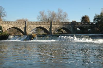
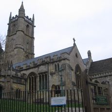
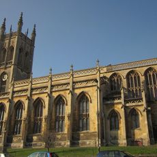
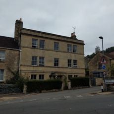
Bathampton Toll Bridge, Grade II listed bridge in Bathampton, England
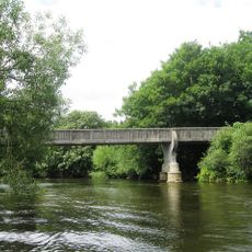
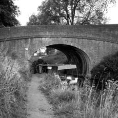
Bathampton Toll Bridge is a stone structure that crosses the River Avon with nine pointed arches, with three larger ones in the center and three smaller ones at each end. The bridge was built from Bath Stone and connects multiple transport routes in one location.
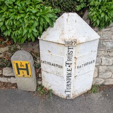
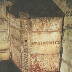
The bridge was built in 1872 by Hickes and Isaac for the Bridge Company Turnpike Trust and replaced an older ford and ferry crossing. The project was part of a larger effort to improve transport across the river.
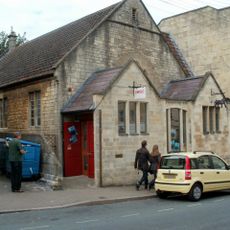
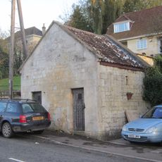
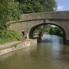
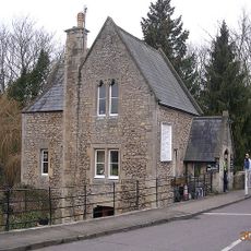
The bridge and its toll house show traditional English building design made from local Bath Stone and keep the original fee-collection system working. Visitors can still see how tolls are gathered here, a practice that has continued for generations.
Pedestrians and cyclists can cross the bridge free of charge, while vehicle drivers must pay at toll booths. Rates vary by vehicle type and cash is the usual payment method.
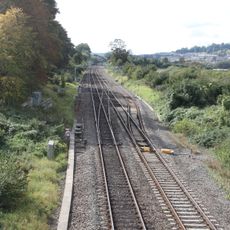
The structure crosses four different transport routes at once: the river, a dual-carriageway road, a railway line, and local paths. This combination makes it a remarkable crossing point for multiple types of traffic in a single location.
Location: Bathampton
Official opening: 1872
Made from material: Bath Stone
GPS coordinates: 51.40150,-2.32560
Latest update: December 8, 2025 20:02
Little Solsbury Hill
1.1 km
Church of St Nicholas, Bathampton
522 m
Rondo Theatre
1.5 km
Church of St John The Baptist, Batheaston
958 m
Church of St Saviour
1.6 km
Hampton Rocks Cutting
598 m
Lock Up, Between Nos 22 And 24 Bathford Hill
1.4 km
Alice Park
1.1 km
Former Bailbrook Mission Church
741 m
Parish Church of St Swithun's
1.4 km
The George Inn Public House
589 m
Grosvenor Bridge
1.5 km
Candy's Bridge
946 m
292, High Street
651 m
245 And 247, London Road East
802 m
Fiveways House
767 m
Section Of Garden Wall 100 Yards To South East Of Batheaston House, Including Niche And Garden Seat
663 m
Boundary Marker On (Ngr St 7844 6721)
1 km
Milestone At Ngr St 7851 6712
1.1 km
Bridge Over The Railway, To North Of Canal Bridge
919 m
Parish Boundary Post In Wall By The Lam Bridge
1.2 km
Toll House
48 m
Milestone At National Grid Reference St 7628 6734
1.2 km
Garage, 15 Yards To East Of No 290, High Street
652 m
Milestone At Ngr St 7854 6759
1.3 km
1-6, Canal Terrace
589 m
Nos. 1-41 And Attached Area Railings
1.6 km
Milepost, London Road West, by Bathway House, No. 144
289 mVisited this place? Tap the stars to rate it and share your experience / photos with the community! Try now! You can cancel it anytime.
Discover hidden gems everywhere you go!
From secret cafés to breathtaking viewpoints, skip the crowded tourist spots and find places that match your style. Our app makes it easy with voice search, smart filtering, route optimization, and insider tips from travelers worldwide. Download now for the complete mobile experience.
A unique approach to discovering new places❞
— Le Figaro
All the places worth exploring❞
— France Info
A tailor-made excursion in just a few clicks❞
— 20 Minutes