
Strood, town in the unitary authority of Medway in South East England
Location: Medway
Elevation above the sea: 32 m
GPS coordinates: 51.39300,0.47800
Latest update: April 21, 2025 07:00
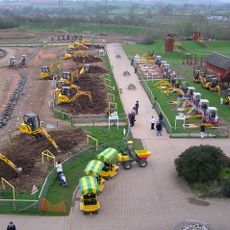
Diggerland
1.2 km
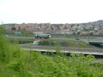
Rochester Bridge
1.6 km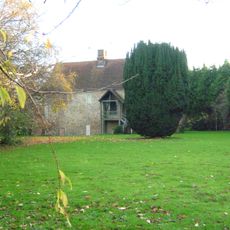
Temple Manor
853 m
Ranscombe Farm
1.5 km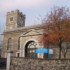
Church of St Nicholas
1.1 km
Parish Church of St Mary
1.5 km
The Former Three Gardners Public House
1.3 km
Queens Cinema
1.4 km
Bridge Chapel
1.6 km
Cineworld Cinema Rochester
1.5 km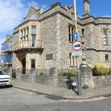
Bridge Chambers and Bridge Chapel
1.6 km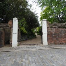
Pair Of Gatepiers 15 Metres North East Of Satis House
1.7 km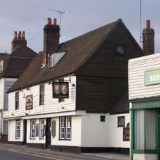
Crispin And Crispianus Public House
989 m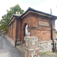
20, Gun Lane
1.1 km
Longley House
1.6 km
The Castle Club
1.7 km
Bryant House
1.1 km
No 1 Including Railings
1.7 km
Satis House
1.6 km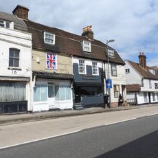
10,12 And 14, London Road
974 m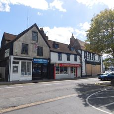
6, 8 And 10, North Street
1.3 km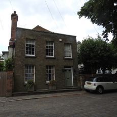
Old Hall And Old Vicarage
1.7 km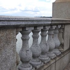
Balustrade Between Rochester Bridge And Rochester Pier
1.6 km
The Friars
1.6 km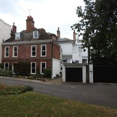
Whitefriars
1.6 km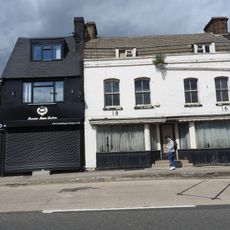
16 And 18, London Road
965 m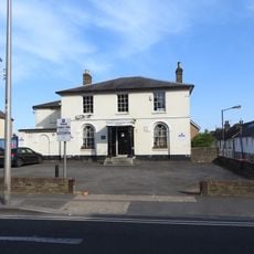
Strood Conservative Club
801 m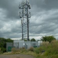
Radio Mast, Broom Hill, Strood
1.1 kmVisited this place? Tap the stars to rate it and share your experience / photos with the community! Try now! You can cancel it anytime.
Discover hidden gems everywhere you go!
From secret cafés to breathtaking viewpoints, skip the crowded tourist spots and find places that match your style. Our app makes it easy with voice search, smart filtering, route optimization, and insider tips from travelers worldwide. Download now for the complete mobile experience.

A unique approach to discovering new places❞
— Le Figaro
All the places worth exploring❞
— France Info
A tailor-made excursion in just a few clicks❞
— 20 Minutes