
Stadhampton, village and civil parish in South Oxfordshire, England
Location: South Oxfordshire
Shares border with: Garsington, Cuddesdon and Denton, Little Milton, Chalgrove, Newington, Drayton St. Leonard, Berinsfield, Marsh Baldon, Toot Baldon
Website: http://stadhampton.org
GPS coordinates: 51.68100,-1.13100
Latest update: March 3, 2025 02:26
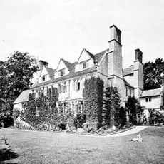
Garsington Manor
4.1 km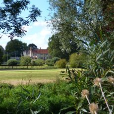
Chippinghurst Manor House And Attached Garden Walls
2.8 km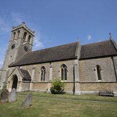
Church of St James
2.9 km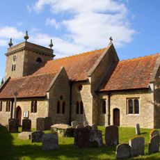
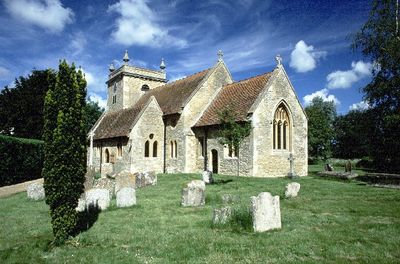
Church of St John the Baptist
480 m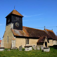
Church of St Leonard
2 km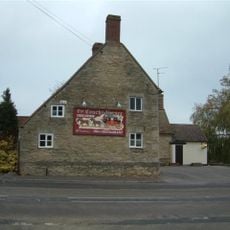
Coach And Horses Inn
976 m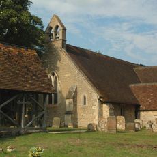
Church of St Lawrence
3.9 km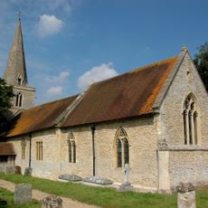
Church of St Giles
2 km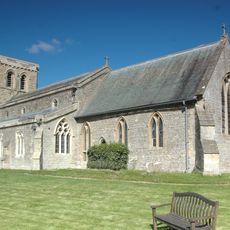
Church of St Mary
4.2 km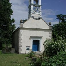
Church of St Katherine
1.3 km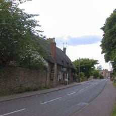
The Lamb Inn
3.1 km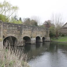
Chiselhampton Bridge
862 m
The Post Office
3 km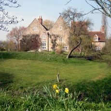
Camoys Court
994 m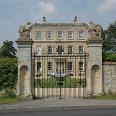
Newington House
2 km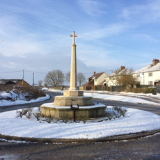
Drayton St Leonard War Memorial
2.2 km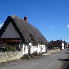
Thatched Cottages
272 m
73, Southend
3.8 km
Denton House
4.3 km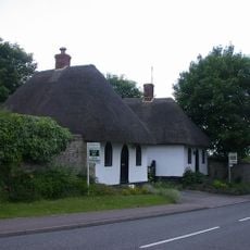
Lodge, Northern Of Pair Approximately 120 Metres West Of Manor House Manor House, Northern Of Pair Of Lodges
2.9 km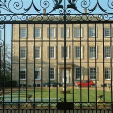
Entrance Gates At Newington House
2.1 km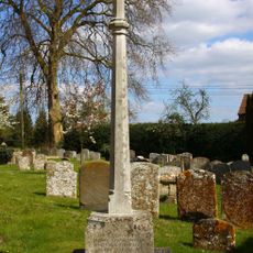
Stadhampton War Memorial
474 m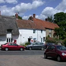
Wall Street Cottage
3 km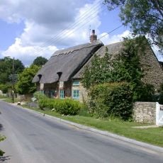
Brookside
2.9 km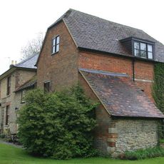
Stadhampton Mill
171 m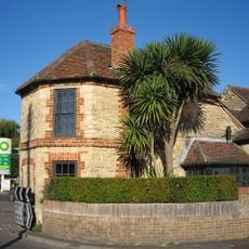
The Toll House
35 m
Lodge, Southern Of Pair Approximately 120 Metres West Of Manor House (Formerly Listed As Lodges At Entrance To Manor) Manor House, Southern Of Pair Of Lodges
2.9 km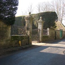
Gatepiers, Walls, Gates And Railings To Forecourt Of Manor House
4.1 kmReviews
Visited this place? Tap the stars to rate it and share your experience / photos with the community! Try now! You can cancel it anytime.
Discover hidden gems everywhere you go!
From secret cafés to breathtaking viewpoints, skip the crowded tourist spots and find places that match your style. Our app makes it easy with voice search, smart filtering, route optimization, and insider tips from travelers worldwide. Download now for the complete mobile experience.

A unique approach to discovering new places❞
— Le Figaro
All the places worth exploring❞
— France Info
A tailor-made excursion in just a few clicks❞
— 20 Minutes