
Sibdon Carwood, village and civil parish in Shropshire, UK
Location: Shropshire
Shares border with: Cheney Longville
GPS coordinates: 52.44300,-2.86600
Latest update: March 6, 2025 02:08
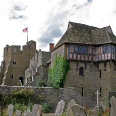
Stokesay Castle
2.7 km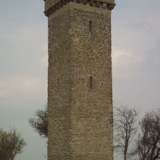
Flounders' Folly
5.2 km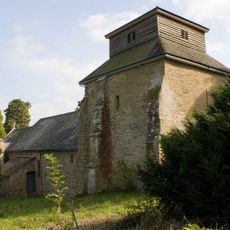
St Mary's Church, Hopesay
2.3 km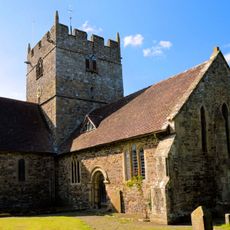
Church of the Holy Trinity
3.2 km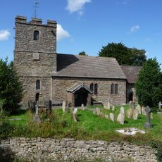
Church of St John the Baptist
2.7 km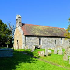
Church of St Michael
3.7 km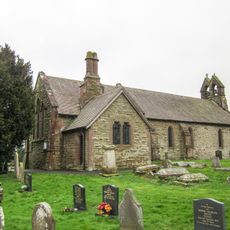
Church of St Thomas
2.4 km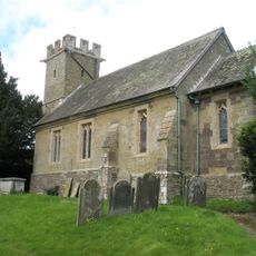
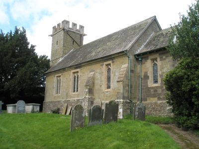
Church of St Michael
68 m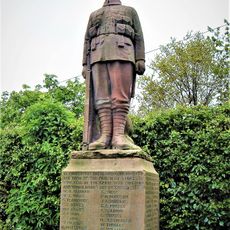
Craven Arms War Memorial
2.7 km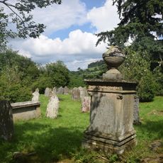
Morris Monument Approximately 20 Metres South East Of Chancel Of Church Of St John The Baptist
2.8 km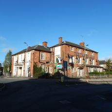
Craven Arms Hotel
2.1 km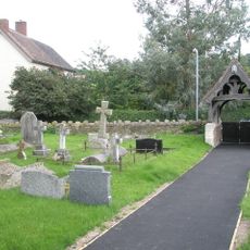
Halford War Memorial Lych Gate
2.4 km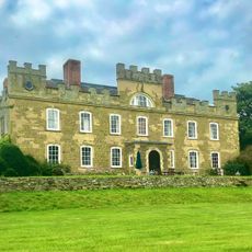
Sibdon Castle
79 m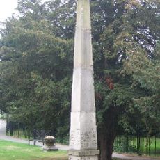
Milestone at Junction of A49 and B4368
2.1 km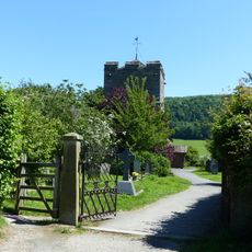
Gates and gate piers to churchyard of St John the Baptist
2.8 km
Milestone At Ngr So 3902 8174
2.6 km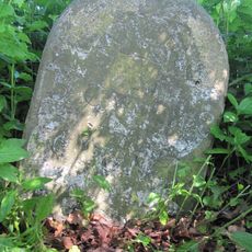
Milestone At Ngr So 3748 8137
4.1 km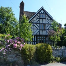
The Old Rectory
2.4 km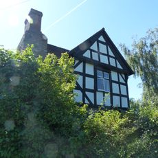
141, Newton
2.5 km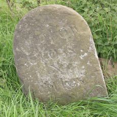
Milestone At Ngr So 442 858
3.9 km
Milestone At Ngr So 415 859
2.9 km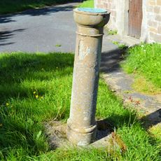
Sundial Approximately 2 Metres South West Of Nave Of Church Of St Michael
3.7 km
Milestone At Ngr So 40486 81927
1.4 km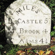
Milestone Approximately 870 Metres North-East Of Plowden Mill
4.7 km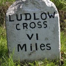
Milestone, Flaxford
4.6 km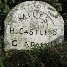
Milestone, S of Wistanstow
2.7 km
Milestone, Crowsmoor; W of Longmeadow-end
1.4 km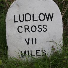
Milestone, Whettleton Lane jct
3.2 kmReviews
Visited this place? Tap the stars to rate it and share your experience / photos with the community! Try now! You can cancel it anytime.
Discover hidden gems everywhere you go!
From secret cafés to breathtaking viewpoints, skip the crowded tourist spots and find places that match your style. Our app makes it easy with voice search, smart filtering, route optimization, and insider tips from travelers worldwide. Download now for the complete mobile experience.

A unique approach to discovering new places❞
— Le Figaro
All the places worth exploring❞
— France Info
A tailor-made excursion in just a few clicks❞
— 20 Minutes