
Diptford, village in the United Kingdom
Location: South Hams
Website: http://diptford.org.uk
GPS coordinates: 50.39452,-3.79514
Latest update: May 5, 2025 02:25

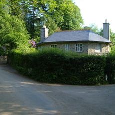
Black Hall
1.7 km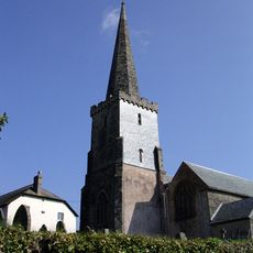
St Mary's Church, North Huish
1.4 km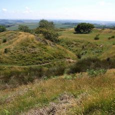
Blackdown Rings
4.5 km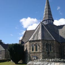
Church of St Peter
5.8 km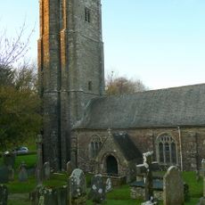
Church of St Leonard
6.2 km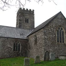
All Saints Church
5.3 km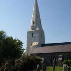
Church of St Mary
359 m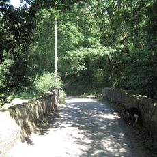
Rolster Bridge
4.6 km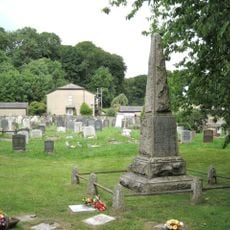
Harbertonford War Memorial
5.8 km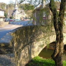
Harbertonford Bridge
5.9 km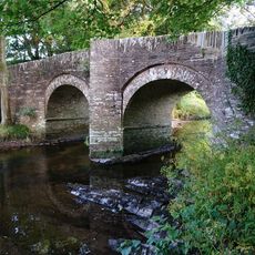
Bickham Bridge Bickham Bridge
1.1 km
Milestone At Ngr 743 528 About 440 Metres South Of Cleave Farmhouse
4.1 km
Hernaford Farmhouse
5.9 km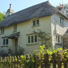
Ivy Cottage
331 m
Stert
2.3 km
The Rock
2.1 km
Ryes
426 m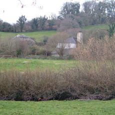
Woodcourt
5.3 km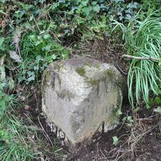
Milestone At Ngr 738 595 South Of Blue Post Farmhouse
3.3 km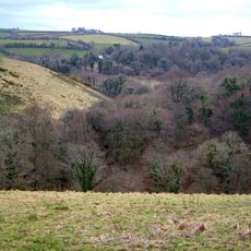
Crabadon Court
3.6 km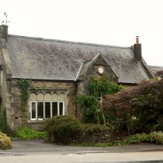
The Old School
5.9 km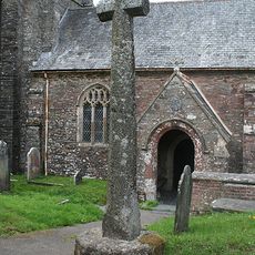
Churchyard cross, 5m south of the porch of St Leonard's Church
6.2 km
Lower Bearscombe Farmhouse
3.6 km
Penson Farmhouse
2.2 km
Pair Of Gate Piers About 200 Metres South East Of Weirdown
2 km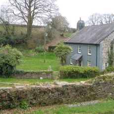
Fletcher's Combe
3.7 km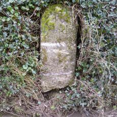
Milestone, Moreleigh, Place Barton Farm, S side of first fork in village
5.7 km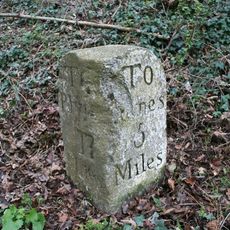
Milestone, 300m NE of turn to Charford Manor Hotel
2.4 kmVisited this place? Tap the stars to rate it and share your experience / photos with the community! Try now! You can cancel it anytime.
Discover hidden gems everywhere you go!
From secret cafés to breathtaking viewpoints, skip the crowded tourist spots and find places that match your style. Our app makes it easy with voice search, smart filtering, route optimization, and insider tips from travelers worldwide. Download now for the complete mobile experience.

A unique approach to discovering new places❞
— Le Figaro
All the places worth exploring❞
— France Info
A tailor-made excursion in just a few clicks❞
— 20 Minutes