
Awbridge, village and civil parish in Hampshire, United Kingdom
Location: Test Valley
Website: https://awbridge.info
GPS coordinates: 51.01340,-1.53074
Latest update: March 7, 2025 10:07

Romsey Abbey
3.3 km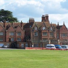
Embley Park
3.2 km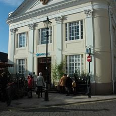
Corn Exchange
3.5 km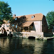
Sadler's Mill
3.5 km
Romsey Town Hall
3.5 km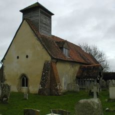
Church of St Andrew
1.7 km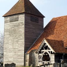
Church of St Mary
3.2 km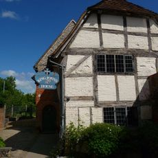
King John's House
3.4 km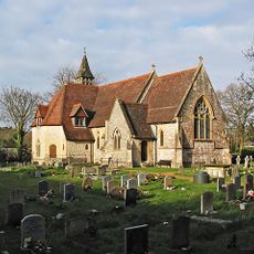
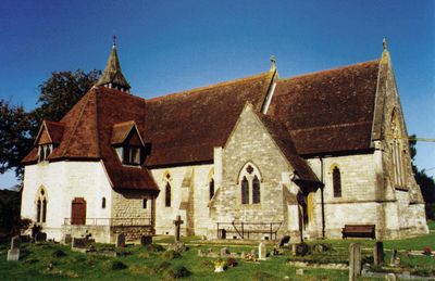
Church of All Saints
748 m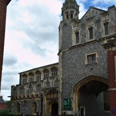
The Abbey United Reformed Church
3.5 km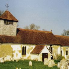
Church of St Andrew
2.9 km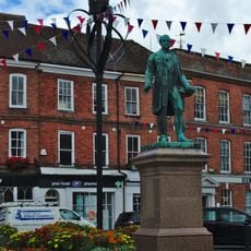
Statue of Lord Palmerston
3.5 km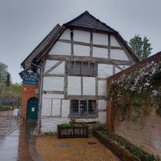
1, Church Court
3.4 km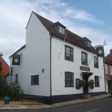
Star Inn
3.2 km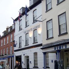
The White Horse Hotel
3.5 km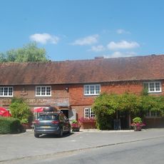
The Bear And Ragged Staff Public House
2 km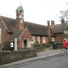
Romsey Library
3.4 km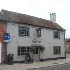
Latimer Arms Public House
3.5 km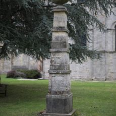
Waterloo Memorial At Romsey Abbey
3.4 km
The Malthouse Inn
1.9 km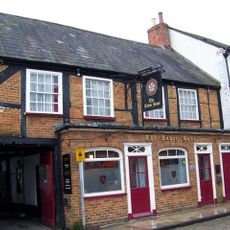
Tudor Rose Public House
3.5 km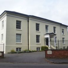
Rivermead
3.3 km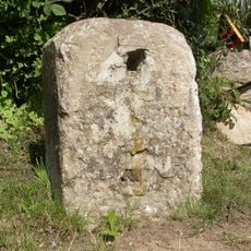
Milestone 150 Metres South East Of Dellens Farm, In Front Of Mile End
2.2 km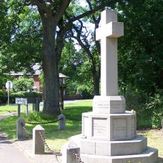
Awbridge War Memorial
1 km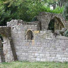
Folly In Garden Of The Vicarage 50 Metres West Of House
3.3 km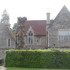
Vicarage
3.3 km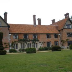
Stanbridge Earls
1 km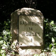
Milestone 30 Metres West Of Lay-By On North Side At Top Of Green Hill
3.2 kmVisited this place? Tap the stars to rate it and share your experience / photos with the community! Try now! You can cancel it anytime.
Discover hidden gems everywhere you go!
From secret cafés to breathtaking viewpoints, skip the crowded tourist spots and find places that match your style. Our app makes it easy with voice search, smart filtering, route optimization, and insider tips from travelers worldwide. Download now for the complete mobile experience.

A unique approach to discovering new places❞
— Le Figaro
All the places worth exploring❞
— France Info
A tailor-made excursion in just a few clicks❞
— 20 Minutes