Stamford Bridge, village in East Riding of Yorkshire, Great Britain
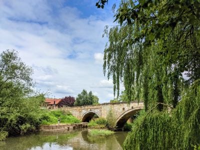
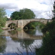
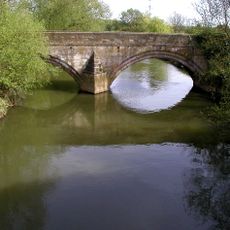
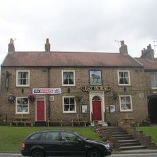
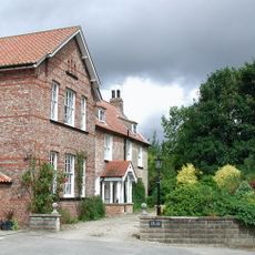
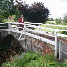
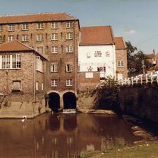
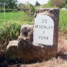
Stamford Bridge is a small village in the East Riding of Yorkshire situated along the River Derwent, surrounded by open fields and woodland. The village consists of modest homes and farmsteads with traditional stone buildings, while an early 18th century stone bridge divides the settlement and serves as one of its most distinctive landmarks.
The area was settled by Romans around 70 AD who built the fort Derventio, a name derived from a Celtic word meaning oak tree. The most notable event is the Battle of Stamford Bridge in 1066, when King Harald II defeated the Viking forces of Harald Hardrada, an event that left a lasting mark on English history.
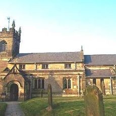
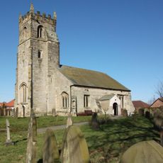
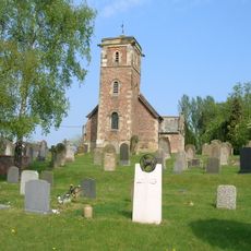
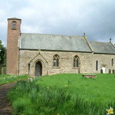
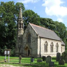
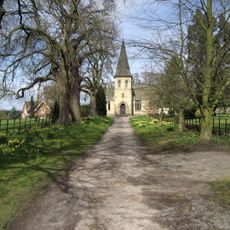
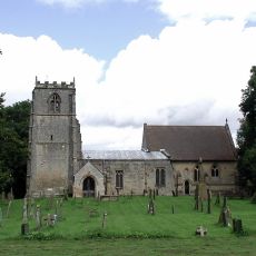
The name reflects an ancient river crossing, and this connection to the landscape remains part of the village's identity today. Residents gather regularly at the church and village hall for local events, which help maintain close ties within the small community and keep local traditions alive.
The village lacks large parking areas, making it most accessible on foot or by bicycle, which are ideal for exploring the settlement. The area offers good walking paths along the Derwent and through surrounding fields, and warm, weather-resistant clothing is recommended due to the open landscape.
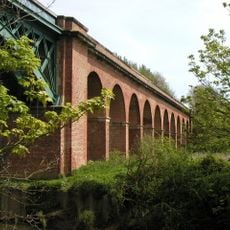
The village experienced severe flooding in 2000, after which protective barriers were built to guard against future floods, making it one of the area's defining recent events. The old railway station and viaduct from the 1840s are reminders of a former rail connection whose reopening is now being planned.
The community of curious travelers
AroundUs brings together thousands of curated places, local tips, and hidden gems, enriched daily by 60,000 contributors worldwide.