
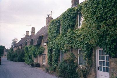
Chilson, hamlet and civil parish in West Oxfordshire, England
Location: West Oxfordshire
Shares border with: Chadlington, Lyneham, Ascott-under-Wychwood, Cornbury and Wychwood, Charlbury, Spelsbury
GPS coordinates: 51.87300,-1.53600
Latest update: March 12, 2025 07:51
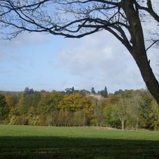
Cornbury Park
3.1 km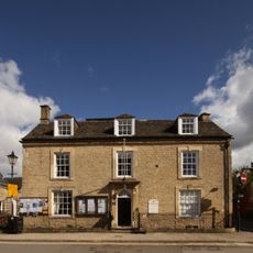
Charlbury Museum
3.7 km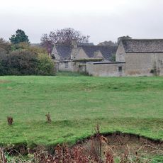
Ascot d'Oilly Castle
2 km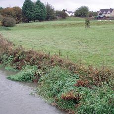
Ascott Earl Castle
2.6 km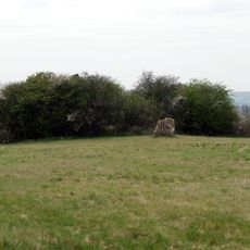
Lyneham Longbarrow
2.8 km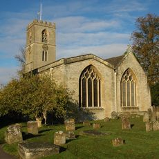
St Mary's Church, Charlbury
3.5 km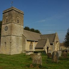
Church of the Holy Trinity
2.1 km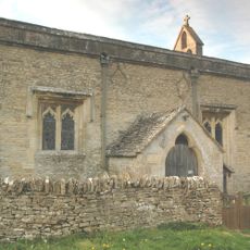
Church of All Saints
994 m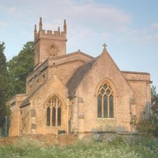
Church of St Nicholas
2.9 km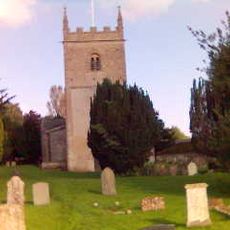
Church of All Saints, Spelsbury
3.5 km
1, Park Street
3.6 km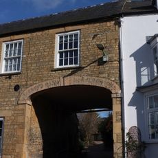
White Hart Public House
3.6 km
Manor House
1.9 km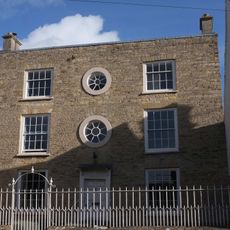
Grandchester House
3.6 km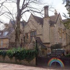
The Old Rectory
3.5 km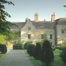
Manor House And Attached Walls And Outbuildings
2.8 km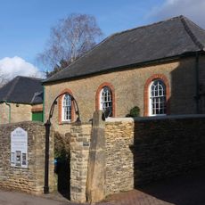
Quaker Meeting House
3.6 km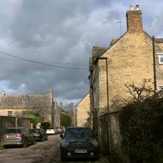
Queen's Own
3.5 km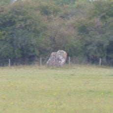
Lyneham long barrow and standing stone, 480m north east of Hill Barn
2.8 km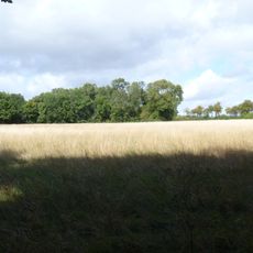
The Roundabout hillfort, 460m west of Barter's Hill Farm
2.9 km
The Manor House
3.6 km
10 and 11, Market Street
3.7 km
4-6, Dyers Hill
3.5 km
Gothic House
3.6 km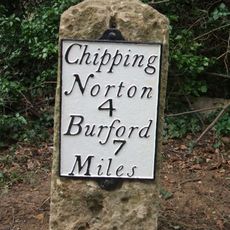
Milestone, Barters Hill Farm
2.8 km
Milestone, Forest Road; Dyers Hill, half mile W of Charlbury Station
2.2 km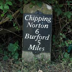
Milestone, Station Road; 20m S of turn to Shipton Mill
3.8 km
Milestone, Rangers Lawn
737 mVisited this place? Tap the stars to rate it and share your experience / photos with the community! Try now! You can cancel it anytime.
Discover hidden gems everywhere you go!
From secret cafés to breathtaking viewpoints, skip the crowded tourist spots and find places that match your style. Our app makes it easy with voice search, smart filtering, route optimization, and insider tips from travelers worldwide. Download now for the complete mobile experience.

A unique approach to discovering new places❞
— Le Figaro
All the places worth exploring❞
— France Info
A tailor-made excursion in just a few clicks❞
— 20 Minutes