Ascot d'Oilly Castle
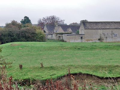
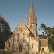
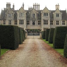
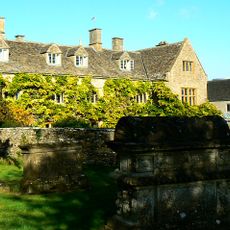
Ascot d'Oilly Castle, Medieval motte-and-bailey castle in Ascott-under-Wychwood, England.
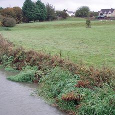
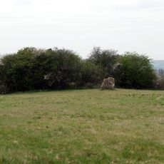
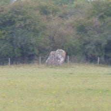
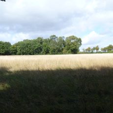
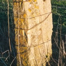
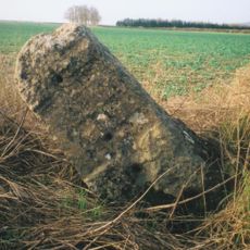
Ascot d'Oilly Castle is a motte-and-bailey fortification in Ascott-under-Wychwood featuring a central raised mound with a crescent-shaped outer enclosure. Broad ditches surround the earthworks, crossed by an earth causeway that once provided access to the inner fortified area.
The castle was built around 1129 by Roger d'Oilly, a Norman granted land by William the Conqueror following the invasion. It was abandoned and demolished shortly after 1175, marking the end of its occupation.
Archaeological excavations in 1946 revealed significant 12th-century artifacts, including shelly ware pottery that provides insights into medieval life.
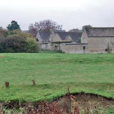
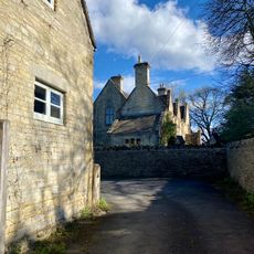
The site is easy to explore on foot since the earthworks remain clearly visible above ground and the layout is straightforward to follow. It is best to check access beforehand, as the land may be privately owned and not always open to visitors.
Excavations conducted in 1946 uncovered medieval pottery and household objects that reveal details about daily life within the fortification. These archaeological discoveries provide a window into how residents actually lived during the castle's occupation period.
Location: Ascott-under-Wychwood
Inception: 12 century
GPS coordinates: 51.86890,-1.56378
Latest update: December 9, 2025 20:24
Ascott Earl Castle
720 m
Lyneham Longbarrow
2.1 km
Bruern Abbey
3.7 km
Church of St Mary, Shipton-under-Wychwood
2.4 km
Church of St Michael and All Angels
4.1 km
Church of All Saints
2.9 km
Church of the Holy Trinity
364 m
Church of St Simon and St Jude
3.7 km
Leafield War Memorial Lychgate at St Michael and All Angels Church
4.1 km
Shaven Crown Hotel
2.6 km
Morgan Bale Tomb About 3 Yards East Of Church Of St Mary
2.4 km
Shipton Court
2.8 km
Manor House
85 m
Village Cross
4 km
Bruern Abbey
3.8 km
Pratts House
4.1 km
The Vicarage
4.1 km
Lancut
4.1 km
Lyneham long barrow and standing stone, 480m north east of Hill Barn
2.1 km
The Roundabout hillfort, 460m west of Barter's Hill Farm
2.4 km
The Old Prebendal
2.4 km
Milestone, Barters Hill Farm
2.2 km
Milestone, Shipton Down
4 km
Milestone, Forest Road; Dyers Hill, half mile W of Charlbury Station
4.1 km
Milestone, S of Hill Buildings between top of hill and lay-by
4.1 km
Milestone, Station Road; 20m S of turn to Shipton Mill
1.9 km
Guidestone, Plum Lane; corner of Shipton Court
2.9 km
Milestone, Rangers Lawn
2.7 kmVisited this place? Tap the stars to rate it and share your experience / photos with the community! Try now! You can cancel it anytime.
Discover hidden gems everywhere you go!
From secret cafés to breathtaking viewpoints, skip the crowded tourist spots and find places that match your style. Our app makes it easy with voice search, smart filtering, route optimization, and insider tips from travelers worldwide. Download now for the complete mobile experience.
A unique approach to discovering new places❞
— Le Figaro
All the places worth exploring❞
— France Info
A tailor-made excursion in just a few clicks❞
— 20 Minutes