
Lamerton, village and civil parish in Devon, United Kingdom
Location: West Devon
Elevation above the sea: 115.9 m
GPS coordinates: 50.57222,-4.18750
Latest update: March 10, 2025 18:08

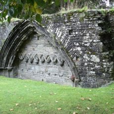
Tavistock Abbey
3.9 km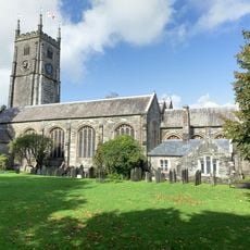
Church of St Eustachius
3.9 km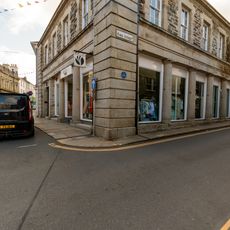
Cook Stores (Hardware)
3.8 km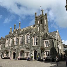
New Hall
3.9 km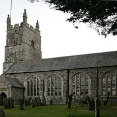
Church of St Peter
113 m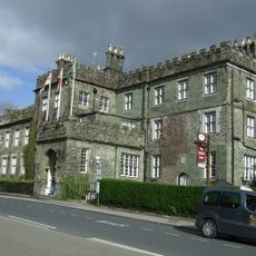
Bedford Hotel
4 km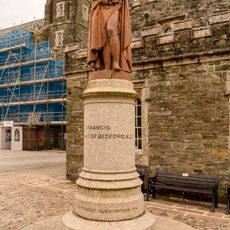
Duke Of Bedford Statue
4 km
Former Police Cottages Immediately East Of Police Station
4 km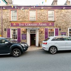
Cornish Arms Public House
3.8 km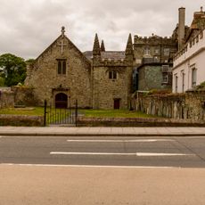
The Abbey Chapel Forecourt Wall And Piers
4 km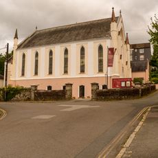
Tavistock Methodist Church
3.8 km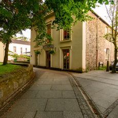
1, Church Lane
3.9 km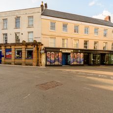
Part Of Tavistock And District Co Operative Society
3.8 km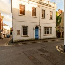
Freemasons Hall
3.8 km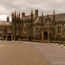
Guildhall, Police Station, attached railings and boundary walls
4 km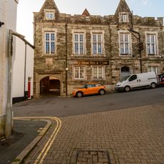
Sir Francis Drake Public House
3.8 km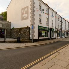
(White Hart Inn) Public House
3.9 km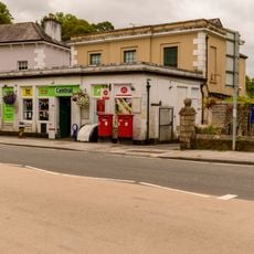
Post Office
4 km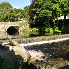
Abbey Bridge
4 km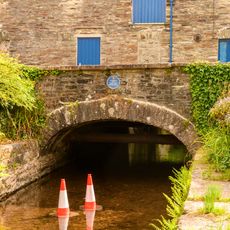
Canal Bridge
4 km
16, Plymouth Road
3.9 km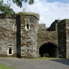
Betsy Grimbal's Tower, The Vicarage
4 km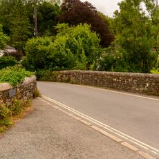
Vigo Bridge
4 km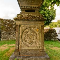
Memorial To John Gill In St Eustachius' Churchyard
3.9 km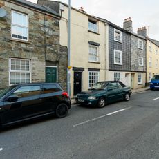
54, West Street
3.8 km
28, West Street
3.8 km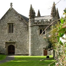
Porch To Abbot's Hall In Grounds Of Bedford Hotel
4 km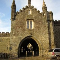
Abbey Gatehouse
4 kmReviews
Visited this place? Tap the stars to rate it and share your experience / photos with the community! Try now! You can cancel it anytime.
Discover hidden gems everywhere you go!
From secret cafés to breathtaking viewpoints, skip the crowded tourist spots and find places that match your style. Our app makes it easy with voice search, smart filtering, route optimization, and insider tips from travelers worldwide. Download now for the complete mobile experience.

A unique approach to discovering new places❞
— Le Figaro
All the places worth exploring❞
— France Info
A tailor-made excursion in just a few clicks❞
— 20 Minutes