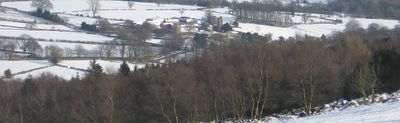
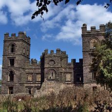
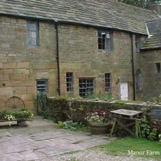
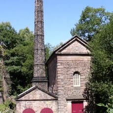
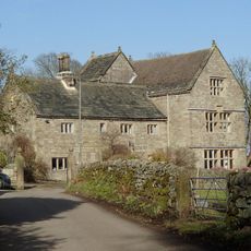
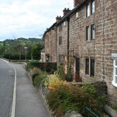
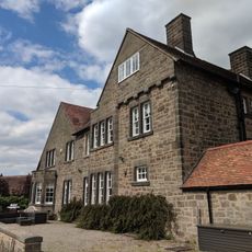
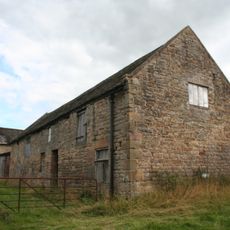
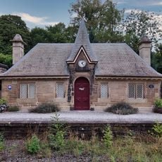
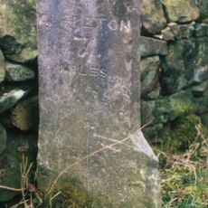
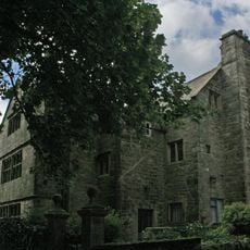
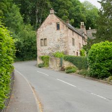
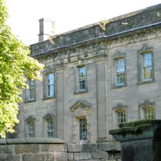
Dethick, Lea and Holloway, civil parish in Derbyshire Dales district, Derbyshire, England, UK
Location: Amber Valley
Shares border with: Ashover, Tansley, Matlock Town, Cromford, Wirksworth, Alderwasley, Crich
GPS coordinates: 53.11000,-1.51400
Latest update: March 10, 2025 03:02
Riber Castle
2.8 km
Dethick Manor
902 m
Leawood Pump House
1.8 km
St John the Baptist's Church
884 m
Holy Trinity Church, Tansley
2.9 km
Christ Church, Holloway
353 m
Sherwood Foresters Memorial Tower
2.5 km
Wigwell Aqueduct
1.8 km
The Jug and Glass Public House
493 m
Meerbrook sough portal 380m south west of Leashaw Farm
1.8 km
Metropolitan Police Public Call Post At The National Tramway Museum
2.8 km
Manor House
2.6 km
Nos. 1 and 2 The Row
475 m
Repton House
344 m
Outbuilding to the north north west of Babington Farmhouse
956 m
Cromford Station (Main Builidng On West Platform)
2.4 km
Footbridge At Cromford Station
2.4 km
Fishing Pavilion
2.6 km
Crich Stand Tower
2.5 km
Front garden wall and gate piers of Riber Hall
2.6 km
Barn to the north of Church Farmhouse
920 m
Cromford Canal engine house, engine and aqueduct
1.8 km
Barn of Riber Hall
2.6 km
Cromford Station (Building On East Platform)
2.3 km
Mile Stone 2 Miles From Wirksworth
2.3 km
Riber Hall
2.6 km
Bridge House
2.6 km
Lea Hall, Gatepier, And Boundary Wall To The North
805 mReviews
Visited this place? Tap the stars to rate it and share your experience / photos with the community! Try now! You can cancel it anytime.
Discover hidden gems everywhere you go!
From secret cafés to breathtaking viewpoints, skip the crowded tourist spots and find places that match your style. Our app makes it easy with voice search, smart filtering, route optimization, and insider tips from travelers worldwide. Download now for the complete mobile experience.
A unique approach to discovering new places❞
— Le Figaro
All the places worth exploring❞
— France Info
A tailor-made excursion in just a few clicks❞
— 20 Minutes