
Chilton, village and civil parish in Vale of White Horse, Oxfordshire, England
Location: Vale of White Horse
Shares border with: East Hendred, Upton, Harwell, West Hagbourne
Website: http://chiltonvillagehall.co.uk
GPS coordinates: 51.56800,-1.29400
Latest update: March 9, 2025 20:34
The Ridgeway
3.9 km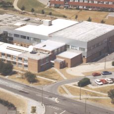
Atlas Computer Laboratory
1.7 km
Scutchamer Knob
3.4 km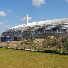
Harwell Synchrocyclotron
1.6 km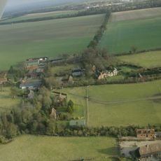
Ginge Manor
4.4 km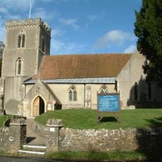
Church of St Matthew
3.3 km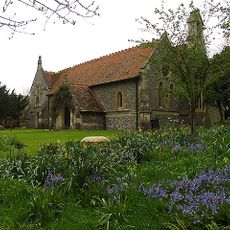
Church of All Saints
3.6 km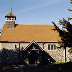
Church of St Mary
2.8 km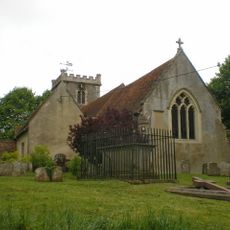
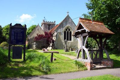
Church of All Saints
267 m
Cottage approximately 35 metres south west of Blissets
3 km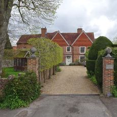
Upton Manor House
2.8 km
Grim's Ditch: section W of Chilton Plantation
2.3 km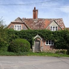
Ivy Farmhouse
3 km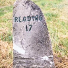
Milestone At Su 5041 8770
2.4 km
The Dell
3.4 km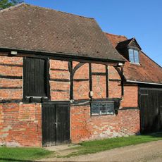
Barn And Granary Approximately 20 Metres West Of Owlscote Manor Farmhouse
2.7 km
Scutchamore Knob
3.4 km
Grim's Ditch: section 1200yds (1100m) long from Chilton Plantation to Ridge Hill
1.8 km
Downs House
3.6 km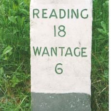
Milestone At Su 4921 8867
3 km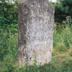
Milestone At Su 44910-18277
3 km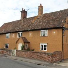
Rosemead
3.2 km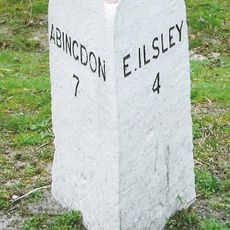
Milestone At Su 4825 8722
1.7 km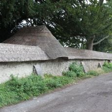
Cob Wall And Attached Outbuilding, Approximately 50 Metres South Of Prince's Manor Farmhouse
3.2 km
Grim's Ditch; section S of Tile Barn
3.4 km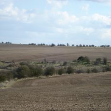
East Hendred Down bowl barrow
2.7 km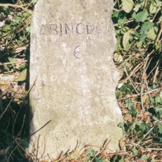
Milestone, 250m N of Rowstock Corner, 100m S of self-styled "Rowstock Manor"
3.3 km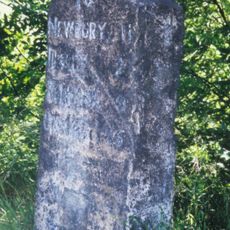
Milestone, Kate's Gore Hill; half way up, just into Berkshire
1.6 kmVisited this place? Tap the stars to rate it and share your experience / photos with the community! Try now! You can cancel it anytime.
Discover hidden gems everywhere you go!
From secret cafés to breathtaking viewpoints, skip the crowded tourist spots and find places that match your style. Our app makes it easy with voice search, smart filtering, route optimization, and insider tips from travelers worldwide. Download now for the complete mobile experience.

A unique approach to discovering new places❞
— Le Figaro
All the places worth exploring❞
— France Info
A tailor-made excursion in just a few clicks❞
— 20 Minutes