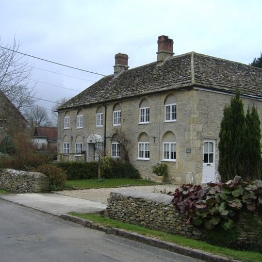
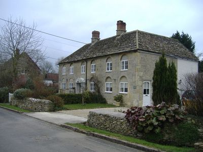
Kempsford, village and civil parish in Gloucestershire, UK
Location: Cotswold
Website: http://kempsfordparishcouncil.net
GPS coordinates: 51.66900,-1.77000
Latest update: March 4, 2025 02:51
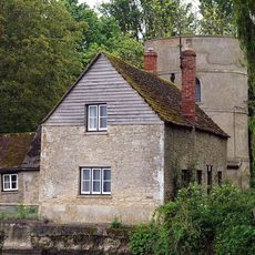
The Round House
4.9 km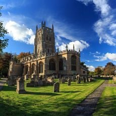
St Mary's Church
4.5 km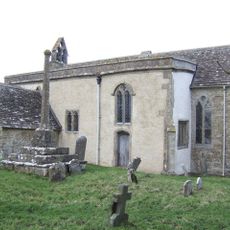
St John the Baptist Church, Inglesham
4.8 km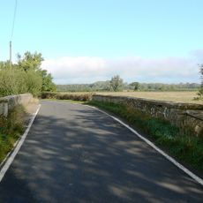
Hannington Bridge
1.6 km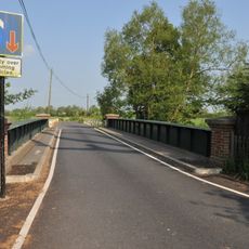
Castle Eaton Bridge
1.8 km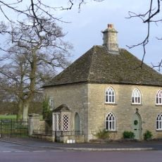
Fairford Park
4.9 km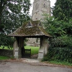
Church of St Mary the Virgin
259 m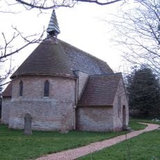
Church of St Anne
2.3 km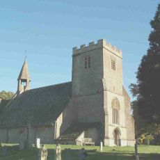
Parish Church of St Mary
1.6 km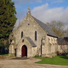
Roman Catholic Church of St Thomas of Canterbury
3.9 km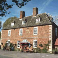
Red Lion Inn
1.7 km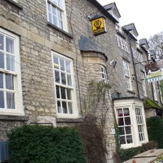
The Bull Hotel
4.4 km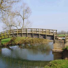
Inglesham Footbridge
5 km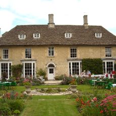
Kempsford Manor And West Wing
294 m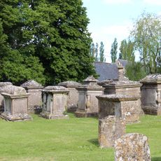
Group Of Ten Monuments About 5 Metres North Of Chancel In Churchyard Of Church Of St Mary The Virgin
256 m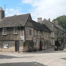
The Chanting House
4.4 km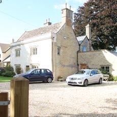
Applegarth House
5.6 km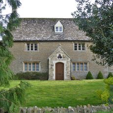
Lynt Bridge Farmhouse
5.2 km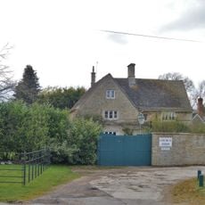
Church Farmhouse
4.8 km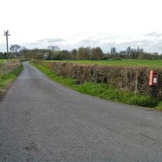
Medieval settlement remains at Inglesham
5 km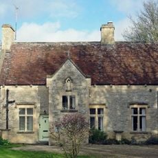
Presbytery Of Church Of St Thomas Of Canterbury
3.9 km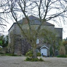
Former Vicarage
4.9 km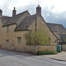
The Laurels
5.6 km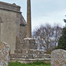
Churchyard cross, 10m south east of St John the Baptist's Church
4.8 km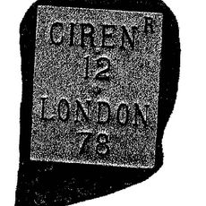
Milestone, ragully 157 yds W of entrance to Butlers Court
5.4 km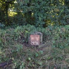
Milestone, just E of entrance to Claydon Fields.
4.4 km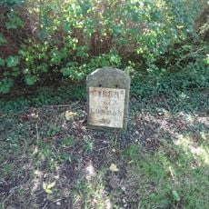
Milestone, E of garage, E of Whelford turning.
4.2 km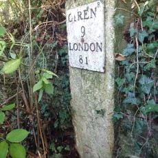
Milestone, E of entrance to football ground.
4.5 kmReviews
Visited this place? Tap the stars to rate it and share your experience / photos with the community! Try now! You can cancel it anytime.
Discover hidden gems everywhere you go!
From secret cafés to breathtaking viewpoints, skip the crowded tourist spots and find places that match your style. Our app makes it easy with voice search, smart filtering, route optimization, and insider tips from travelers worldwide. Download now for the complete mobile experience.

A unique approach to discovering new places❞
— Le Figaro
All the places worth exploring❞
— France Info
A tailor-made excursion in just a few clicks❞
— 20 Minutes
