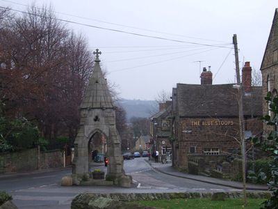
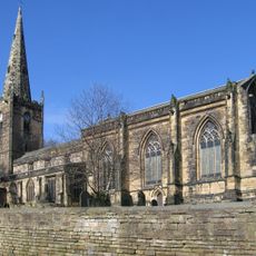
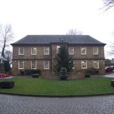
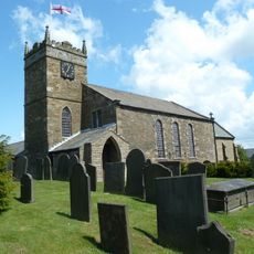
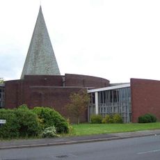
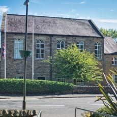
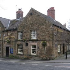
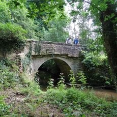
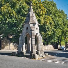
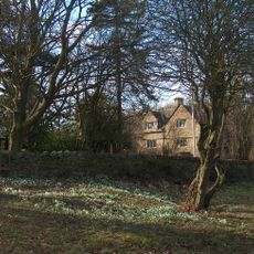
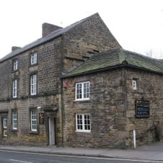
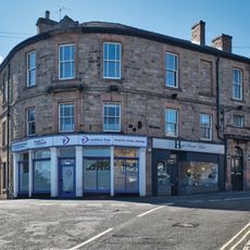
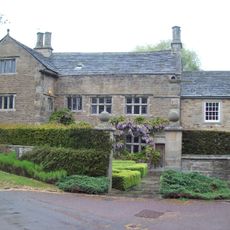
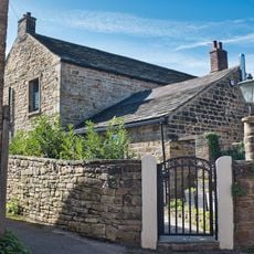
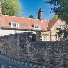
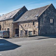
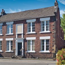
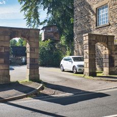
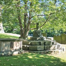
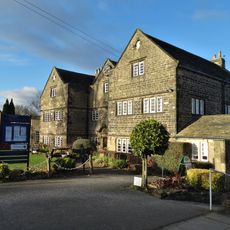
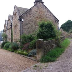
Dronfield, town and civil parish in North East Derbyshire, England
Location: North East Derbyshire
Shares border with: Eckington, Unstone, Barlow, Holmesfield
Website: http://dronfield.gov.uk
GPS coordinates: 53.30240,-1.46640
Latest update: March 4, 2025 01:27
St John the Baptist's Church, Dronfield
384 m
Dronfield Manor
657 m
St Swithin’s Church, Holmesfield
3.7 km
St Peter, Greenhill
2.9 km
Dronfield Methodist Church
576 m
Lea Road Bridge (Tjc1 26)
285 m
The Green Dragon Inn
452 m
The Blue Stoops Inn
565 m
Milestone, Greenhill Main Road, between James Andrew Close & James Andrew Crescent
2.9 km
Lee Bridge
3.3 km
The Monument
589 m
Woodthorpe Hall
4.2 km
The Manor Hotel
653 m
The Old Vicarage
481 m
Cartledge Grange
3.5 km
Milestone 650 Metres East Of The Robin Hood Inn
4.3 km
Lees Hall Farmhouse
2.8 km
Milestone, Rod Moor Road & Barnes Lane jct
3 km
Premises Occupied By The Slinn Computer Group
470 m
The Old Grammar School
504 m
Vale House
302 m
Manor Court
724 m
The Red House
482 m
Two Pairs Of Gatepiers To The East Of Premises Occupied By The Slinn Computer Group
459 m
Churchyard Cross, 20 Metres South Of The Church Of St John The Baptist
377 m
Hallowes Golf Clubhouse
1.1 km
Unstone Manor House
1.7 km
Milestone, Abbeydale Road South, Oldhay Brook Bridge, either side of boundary marker between parishes of Totley and Dore
4.3 kmVisited this place? Tap the stars to rate it and share your experience / photos with the community! Try now! You can cancel it anytime.
Discover hidden gems everywhere you go!
From secret cafés to breathtaking viewpoints, skip the crowded tourist spots and find places that match your style. Our app makes it easy with voice search, smart filtering, route optimization, and insider tips from travelers worldwide. Download now for the complete mobile experience.
A unique approach to discovering new places❞
— Le Figaro
All the places worth exploring❞
— France Info
A tailor-made excursion in just a few clicks❞
— 20 Minutes