Enable Location

We need your location to show you interesting places around you

Discover nearby places

Find interesting locations and hidden gems around you

Precise directions

Get accurate directions and distances to places

Your location is never shared with other users. It's only used when you tap the location button.

Log in to your account

Start exploring — it's free

Trusted by 61,830 travelers worldwide

Continue with Google
Continue with Apple
or

We will send you a code to connect

By continuing, you accept our Terms and Conditions and our Privacy Policy

Check your inbox

We've sent a pincode in your inbox. Please enter the code below.

North East Derbyshire, Administrative district in Derbyshire, England.

Description

North East Derbyshire is a non-metropolitan district in Derbyshire comprising multiple towns and villages across its territory, administered from the center at Wingerworth. The area includes settlements ranging from small rural villages to larger towns with their own distinct characters and layouts.

History

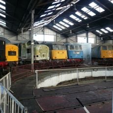
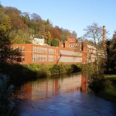
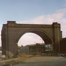
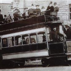
The district was created in 1974 by merging Chesterfield Rural District, Clay Cross Urban District, and Dronfield Urban District following the Local Government Act of 1972. Coal mining shaped the region for generations, defining its economy and communities before the industry declined.

Culture

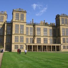
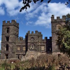
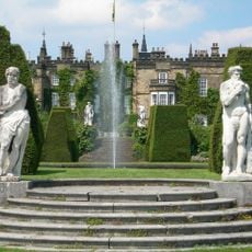
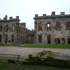
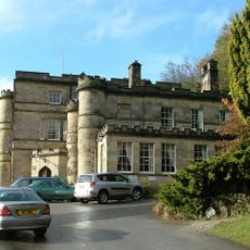
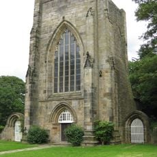
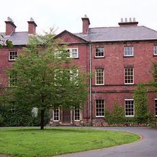
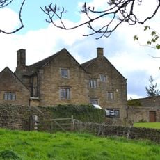
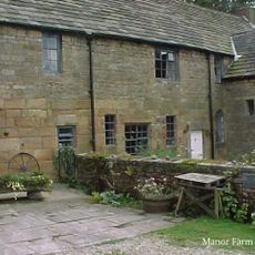
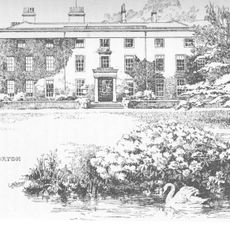
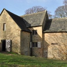
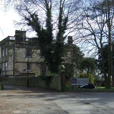
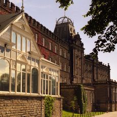
The towns and villages across the district each have their own local identity shaped by their past as mining communities or older settlements. You can see this character reflected in local buildings, gathering places, and how residents connect to their neighborhoods.

Practical

The district is accessible from various points and maintains connections to neighboring regions including South Yorkshire through combined authority partnerships. Visitors should plan to explore individual towns and villages since the settlements are spread across the area rather than concentrated in one location.

Did you know?

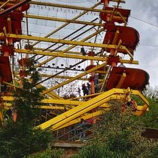
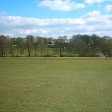
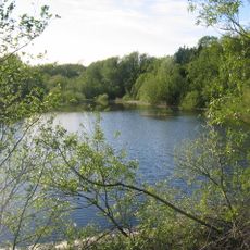
Former coal mines and industrial sites have been transformed into parks, business centers, and housing developments across the district, showcasing successful regeneration of once-industrial land. This conversion of abandoned mines into usable spaces stands out as a distinctive feature of the area's modern character.

Location
Inception
April 1, 1974
Capital city
Wingerworth
Shares border with
Bolsover, Chesterfield, Derbyshire Dales, Amber Valley
GPS coordinates
53.20000,-1.50000
Latest update
December 7, 2025 20:22

AroundUs brings together thousands of curated places, local tips, and hidden gems, enriched daily by 60,000 contributors worldwide. Discover all places nearby (Derbyshire).

« North East Derbyshire - Administrative district in Derbyshire, England » is provided by Around Us (aroundus.com). Images and texts are derived from Wikimedia project under a Creative Commons license. You are allowed to copy, distribute, and modify copies of this page, under the conditions set by the license, as long as this note is clearly visible.

Discover hidden gems everywhere you go!

From secret cafés to breathtaking viewpoints, skip the crowded tourist spots and find places that match your style. Our app makes it easy with voice search, smart filtering, route optimization, and insider tips from travelers worldwide. Download now for the complete mobile experience.

Around Us App Screenshot

A unique approach to discovering new places

Le Figaro

All the places worth exploring

France Info

A tailor-made excursion in just a few clicks

20 Minutes

Around Us
Travel Guide & Maps
Download

Send to your phone

QR Code
1

Open the camera app on your mobile.

2

Point at the QR code with your camera. A notification will appear.

3

Tap the notification to open the link.