Birchen Edge, Rocky climbing area in Baslow and Bubnell, United Kingdom
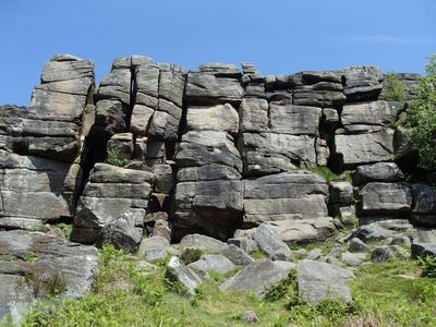
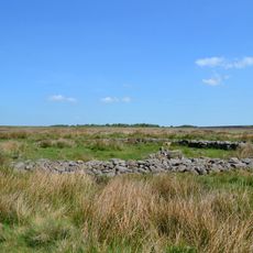
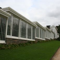
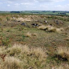
Birchen Edge is a gritstone escarpment in the Peak District National Park with numerous natural rock formations for climbing. The rock wall rises from moorland and features multiple established routes across weathered stone surfaces that have been climbed for generations.
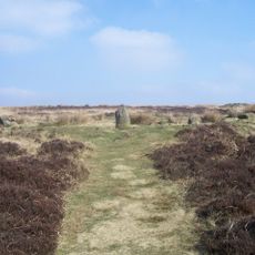
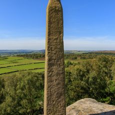
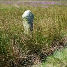
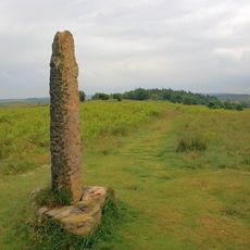
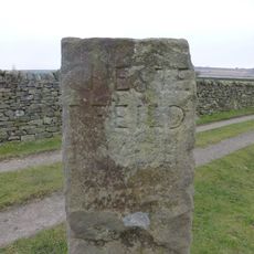
A local businessman named John Brightman built a stone column in 1810 atop the ridge to honor Lord Nelson, a celebrated naval commander. This monument marked the area's connection to an important figure in British maritime history.
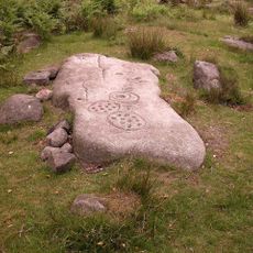
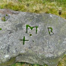
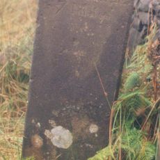
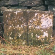
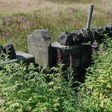
Three ship names are carved into the rock face near the base: Victory, Defiance, and Royal Sovereign, linking this spot to British naval history. These inscriptions stand as a curious reminder of the location's maritime connections that visitors encounter during their climb.
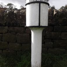
Access is via a public footpath that starts near a pub on a local road and leads directly to the climbing area. The walk is straightforward, and climbers should wear appropriate footwear and bring standard climbing gear, with weather conditions changing quickly on exposed moorland.
One climbing sector features routes named after Emma Hamilton, the woman who was close to Lord Nelson during his life and nursing. These unusual route names weave a personal story into the climbing experience that many visitors discover only by exploring the full site.
The community of curious travelers
AroundUs brings together thousands of curated places, local tips, and hidden gems, enriched daily by 60,000 contributors worldwide.