Gardom's Edge, Climbing area and cliff in Baslow and Bubnell, England.
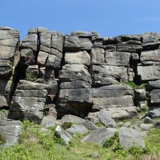
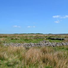
Gardom's Edge is a gritstone crag in Baslow and Bubnell, in the Peak District of England, offering a long line of climbing routes across a north-facing wall. The routes range from moderate to more demanding, featuring steep faces and overhangs spread along the full length of the rock.
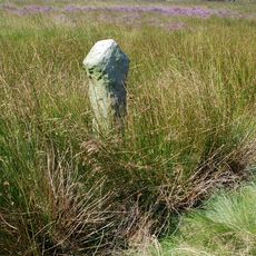
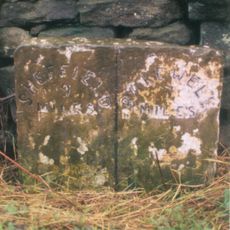
The name of this crag is linked to a blacksmith connected to the nearby Chatsworth Estate, rooting it in the local working history of the area. Over time it became a recognized climbing destination in the Peak District, with routes named and developed by early climbers who explored the rock.
The route names at this crag are passed down within the climbing community and carry a sense of local tradition. Many climbers in the Peak District know this place as a spot where groups naturally gather on weekends to practice on real rock.
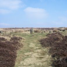
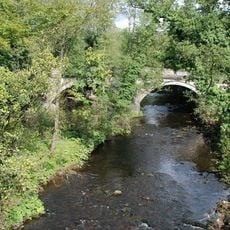
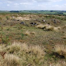
Access is restricted from mid-February through May due to nesting birds, so checking current local guidelines before any visit is a good idea. Outside those months the full length of the crag is open, and the north-facing aspect means it can be cooler and shadier than other spots in the area.
The north-facing wall holds moisture longer than most other crags nearby, which can noticeably affect grip depending on the season and recent weather. The trees surrounding the base also block wind and create a sheltered feel that sets this crag apart from the more open gritstone edges found elsewhere in the Peak District.
The community of curious travelers
AroundUs brings together thousands of curated places, local tips, and hidden gems, enriched daily by 60,000 contributors worldwide.