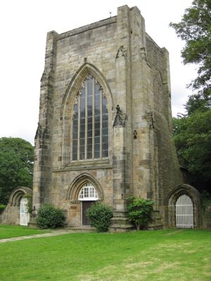
Beauchief Abbey, Medieval abbey in Sheffield, England
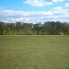
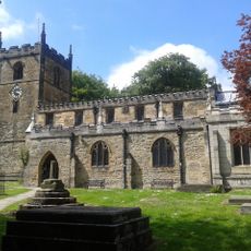
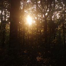
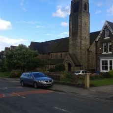
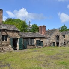
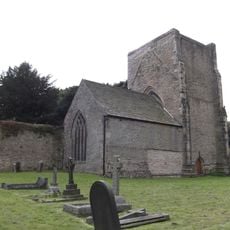
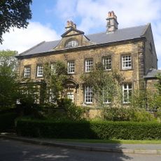
Beauchief Abbey is a medieval monastery in Sheffield featuring a preserved western tower, partial nave walls, and foundation ruins scattered across extensive wooded grounds. The site contains ancient woodlands, two golf courses, and medieval fishponds that visitors can explore.
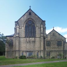
The abbey was founded between 1172 and 1176 by Robert FitzRanulf as a Premonstratensian monastery and operated until its dissolution by Henry VIII in 1537. This marked the end of monastic life at the site.
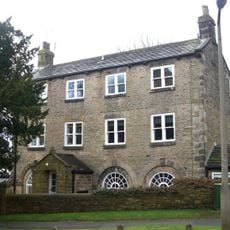
The site serves as an active parish church where volunteer clergy conduct regular services within the preserved medieval structure. This continued religious use keeps the building embedded in local community life.
Multiple walking paths thread through the ancient woodlands, making the grounds easy to navigate on foot at a leisurely pace. The site is accessible year-round and works well for combining a monastery visit with a woodland walk.
Beyond its religious role, the monastery operated as an industrial hub managing mills, iron smelting works, and timber operations along the River Sheaf. This economic activity made it a significant business center of its time.
The community of curious travelers
AroundUs brings together thousands of curated places, local tips, and hidden gems, enriched daily by 60,000 contributors worldwide.