
Sheldwich, village and civil parish in Kent, United Kingdom
Location: Swale
Shares border with: Ospringe
GPS coordinates: 51.27540,0.88170
Latest update: April 26, 2025 14:23
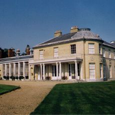
Belmont House and Gardens
2.6 km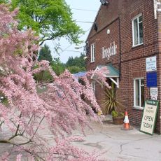
National Fruit Collection
2.8 km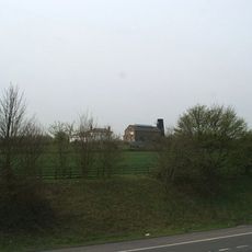
Copton Pumping Windmill
2.7 km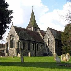
St Catherine's Church, Preston-next-Faversham
4 km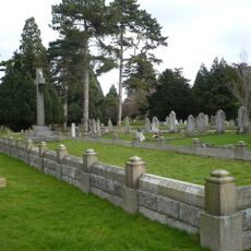
Memorials to the victims of the 1916 Faversham Munitions Explosion
4.3 km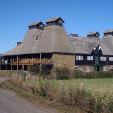
Crouch, Swale
4.2 km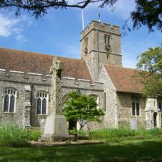
Church of St Mary
2.7 km
Church of St Peter and St Paul
3.6 km
Church of St Michael and All Angels
2.3 km
Church of St Lawrence
2.1 km
Church of St James
40 m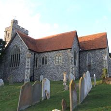
Church of St Peter and St Paul
4.1 km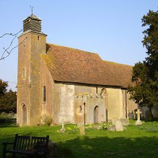
Church of St Leonard
1.8 km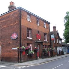
Crown And Anchor Public House
3.9 km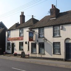
The Windmill Public House
3.7 km
Hall Cottage
4.6 km
Rhode Court
4.7 km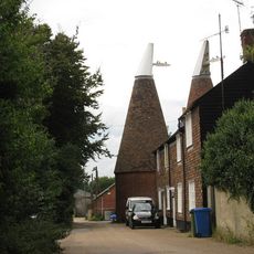
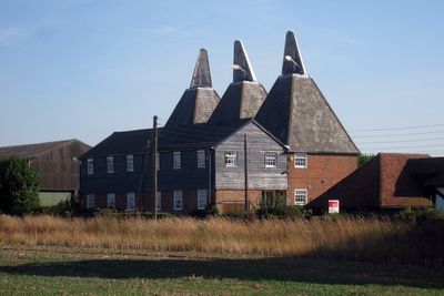
Oasts At Macknade Farm To West Of Macknade Farm Cottages
3.6 km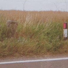
Milestone At Tr 007 551
1.8 km
Ospringe War Memorial
3.6 km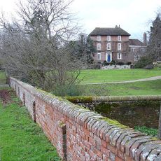
Colkins
3.3 km
Queen Court Farmhouse And Outbuildings
3.7 km
Walnut Tree House
4.5 km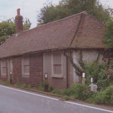
Tollgate House
1.3 km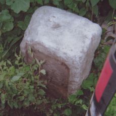
Milestone At Tr 013 581
1.3 km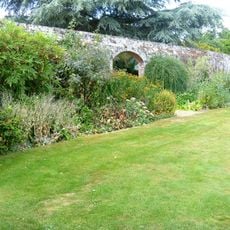
Garden Walls To North Of Belmont
2.6 km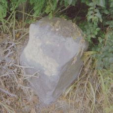
Milestone, Canterbury Road at TR03256010
3.9 km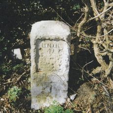
Milestone, Canterbury Road, near North Court
4.7 kmVisited this place? Tap the stars to rate it and share your experience / photos with the community! Try now! You can cancel it anytime.
Discover hidden gems everywhere you go!
From secret cafés to breathtaking viewpoints, skip the crowded tourist spots and find places that match your style. Our app makes it easy with voice search, smart filtering, route optimization, and insider tips from travelers worldwide. Download now for the complete mobile experience.

A unique approach to discovering new places❞
— Le Figaro
All the places worth exploring❞
— France Info
A tailor-made excursion in just a few clicks❞
— 20 Minutes